
Today we ventured north to Ohio and Harrison Lake State Park. Although the park is popular for camping, fishing, and paddling, there are also trails around the lake, but at first I wasn’t so sure. We drove over an hour and when we first arrived I didn’t see any trails. I was disappointed and started to think we drove a long way just go to a park with a lake and picnic benches. Thankfully we explored and found a fun trail around the lake.
The park has several entrances and parking areas. We entered at the Marzolf Shelter and boat ramp and parked near the shelter and restrooms. After walking left toward a grassy area that abutted the lake, we found a trail through the grass and woods. This part of the trail travels and short distance and then opens up to a field. It does this a few times but luckily there are trail markers and a trail map to keep you from getting lost.
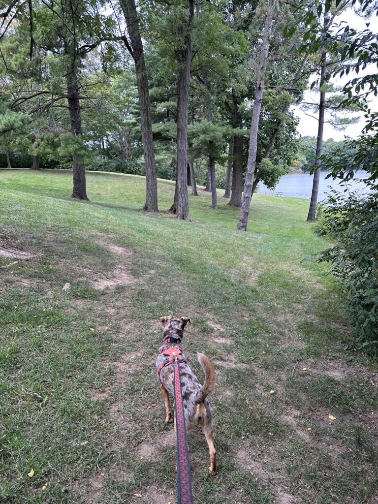

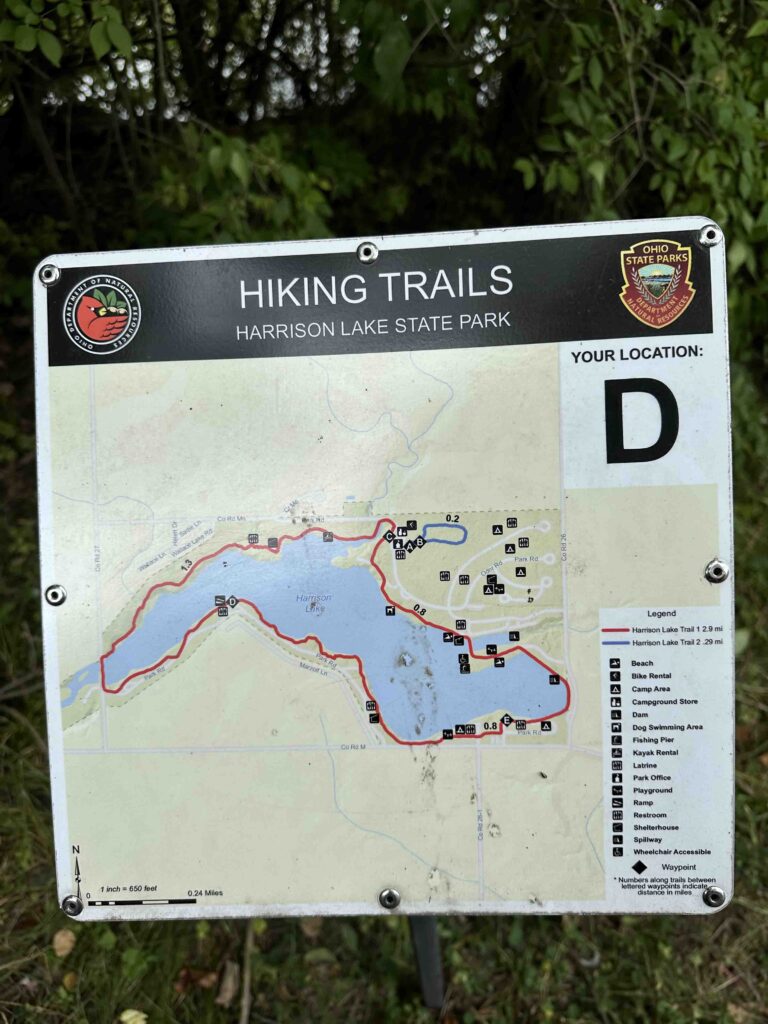


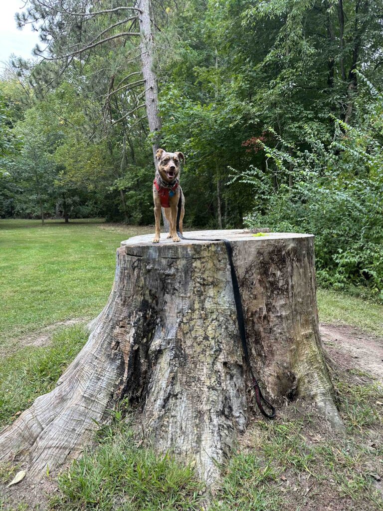
In one of the open fields we found a huge tree stump that Sunny enjoyed exploring. I had to help her get up on it which she thought was great fun. Shortly after exploring the tree stump you come to the entrance of the park off M. The only way to continue walking around the lake is to walk a short distance on M. There is no shoulder, but luckily the road did not seem too busy. Once across the road, look for the trail marker and enter the woods.

This is the best part of the trail. It truly is in the woods and the terrain is a little challenging. There are quite a few inclines and descents, a couple bridges over dry creeks, and a lot of roots and other obstacles on the dirt trail. This was our favorite part of the hike. You can see the lake through the woods for most of this part of the hike. There are also interesting signs throughout giving details about the flora and fauna. The first one about poison ivy almost had us turning back, but we decided to forge ahead.


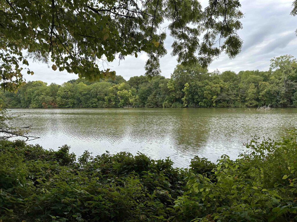
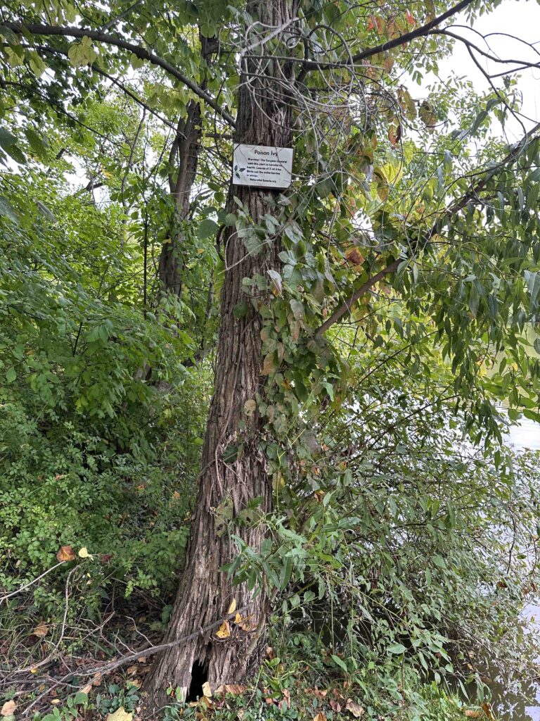
After trekking through the woods and across a bridge that was an Eagle Scout project, we came back to civilization and a park-like setting. This part of the trail is a little confusing since it’s not really a trail, just a walk through the park, similar to the beginning. We just followed the lake and hoped it would eventually lead back to our car. We walked past the beach, through a campsite, along a road, and eventually found our way back to the car. The total distance of our hike was 3.2M.
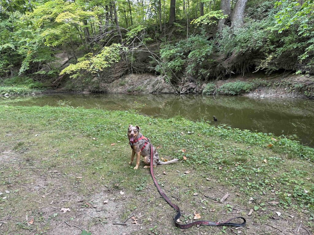

Our Rating
Sunny and I rate Harrison Lake State Park a solid 3 out of 4 paws up. The only downside is the trail is not entirely in the woods and at one point you have to walk along the road. Otherwise the section in the woods is challenging and scenic, the lake is visible for most of the hike, and you can even get your toes wet. There is plenty of parking, restrooms, and areas to picnic. Just a lovely park that you can spend an entire day visiting.
How do I get there?
Harrison Lake State Park is in Fayette, OH which is in Northern Ohio. There are several entrances, but we entered near the Marzolf Shelter and boat ramp on Park Road off M. To get there take 40 to the Ohio border where it turns into 249E. At Farmer, OH turn left onto 2E, which turns into 12C after less than 2M. Then turn left onto Townline Road which turns into 34W then County Rd 13. Then turn right onto County Road 13 which turns into 127N. Follow 127 for 10.5M. At West Unity turn left to stay on 127N. Continue for another 3.7M and then turn right onto O and after nearly a mile it turns into M. Follow M for nearly 2M and then turn left at the sign onto Park Road.
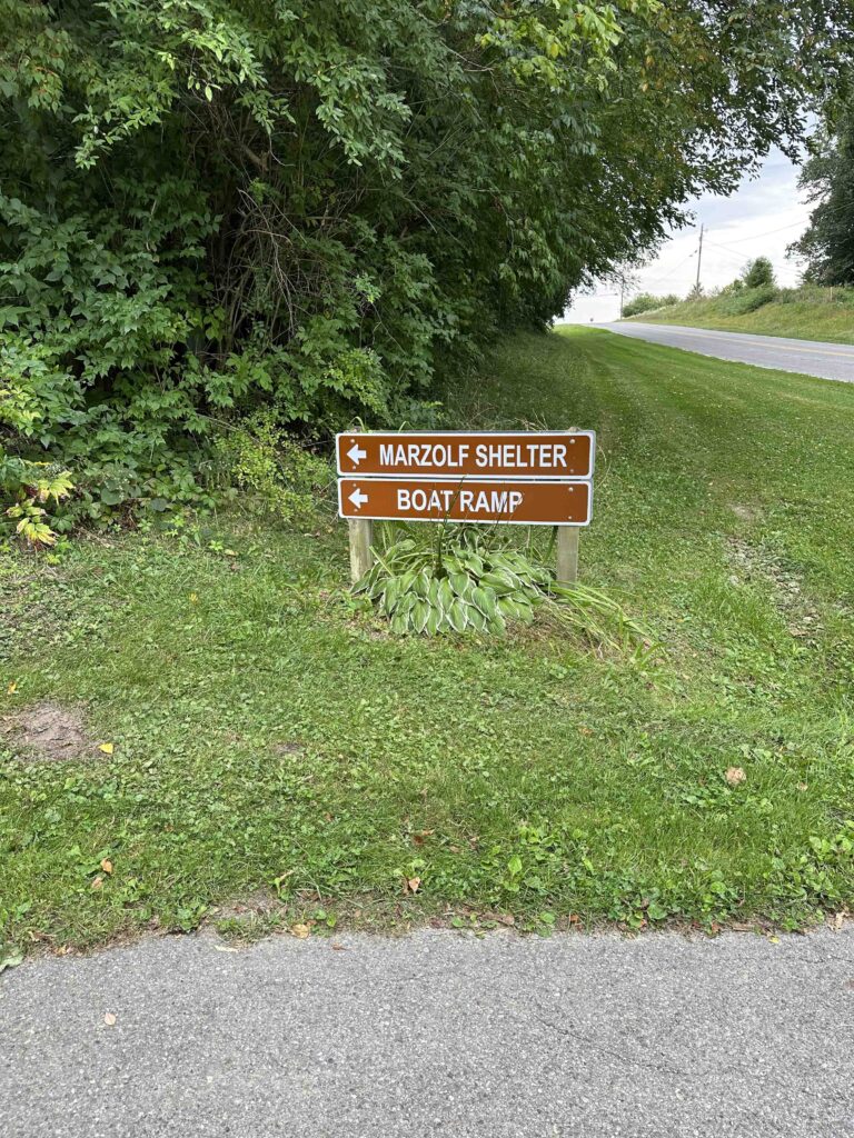
For more information about Harrison Lake State Park check out the Ohio Department of Natural Resources website.

This park is my favorite place on earth! My family has been coming here since the 1960’s when my grandparents brought their children. In fact, my grandfather sponsored the Eagle Scout project bridge and dedicated it to his father. We used to camp on the South side and walk to “Sunset Point” every evening to watch the sunset. Sunset Point is the peninsula where the beach is now. Back then there wasn’t a bridge connecting it to the North side. Every Sunday morning as a family we would take the hike around the lake that you and Sunny took and sometimes even get ice cream. I also never enjoyed walking on the road, but I’m glad you and Sunny enjoyed the park as much as my family 🙂
I love this! Thank you for sharing your family memories.