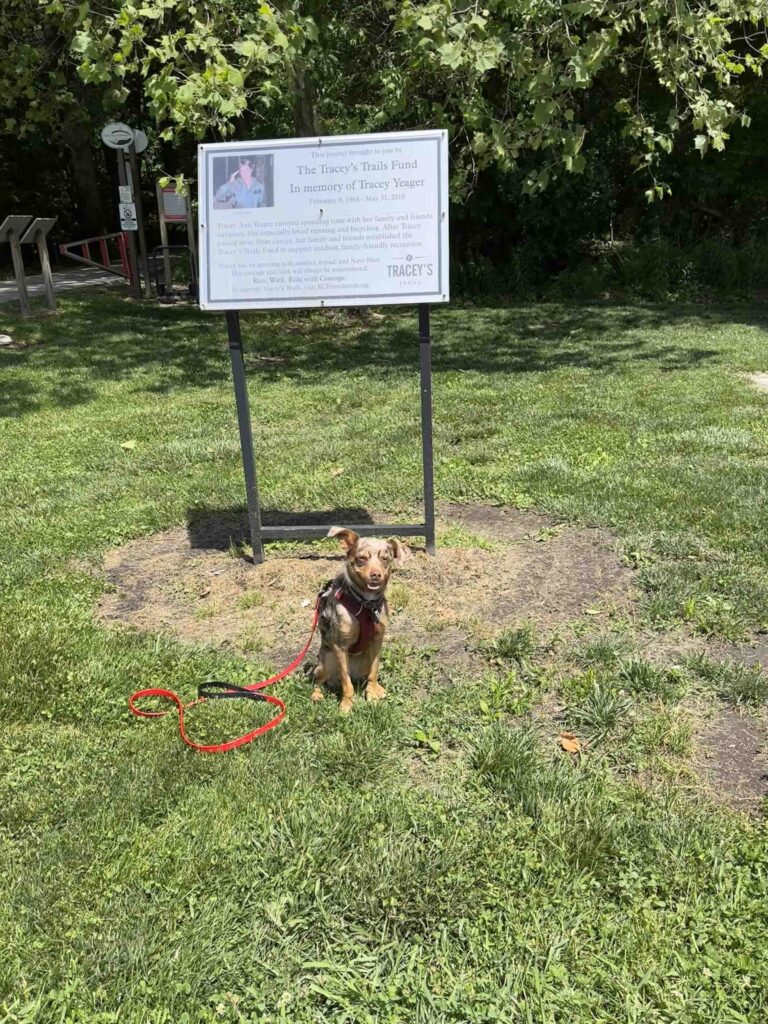
I had no idea the significance of Tracey’s Trail, but shortly after arriving I found out. Ironically we decided to explore Tracey’s Trail on the anniversary of Tracey’s passing. Even more unbelievably just as we approached the sign explaining the significance of the trail, I met Tracey’s best friend. I learned from her that Tracey’s Trail is named for Tracey Yeager, a young mother, who loved the outdoors and sadly lost her battle with cancer in 2010. To commemorate this love, her family and friends established the Tracey’s Trails Fund to support outdoor family-friendly recreation. Based on all the people I saw using the trails when we visited, it was a great success and I have to think Tracey would have been thrilled.
The trail consists of an asphalt main trail, the Heritage Trail, that is about .75M and travels from the parking lot on Roy Street to a park and parking lot on Union Street. There are also miles of mountain bike and hiking trails in the woods on either side of the Heritage Trail. Sunny and I started walking on the Heritage Trail, but ended up exploring some of the trails in the woods. We especially enjoyed the ones near the park since those traversed along Wyland Ditch, a fairly wide stream.
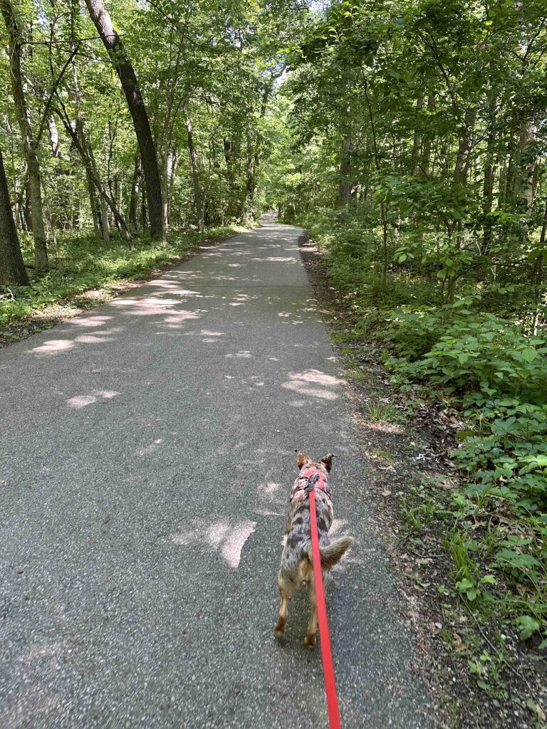
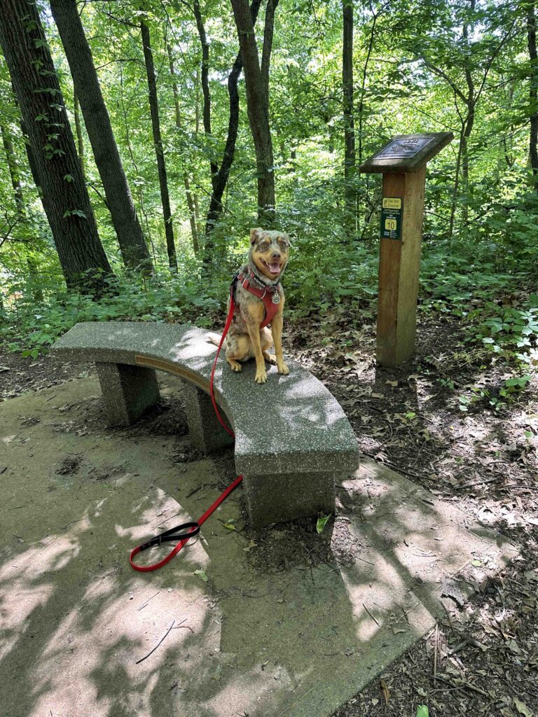
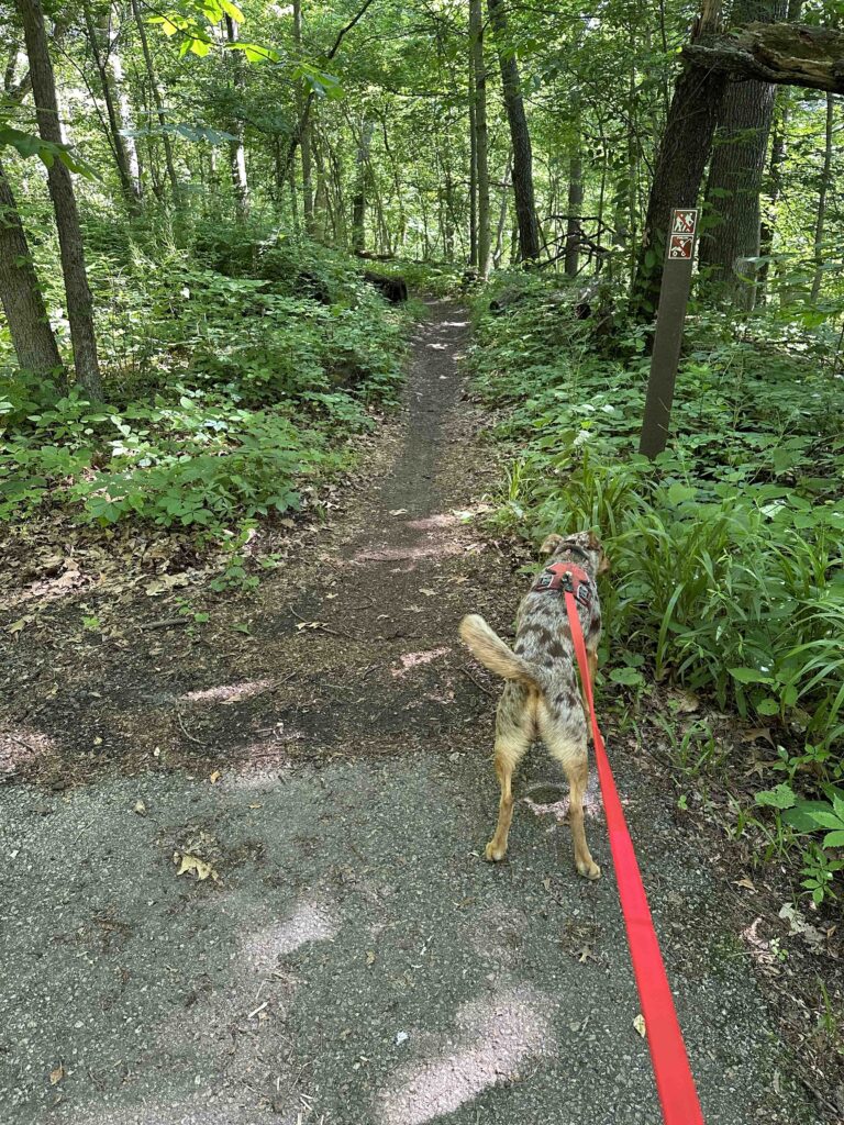
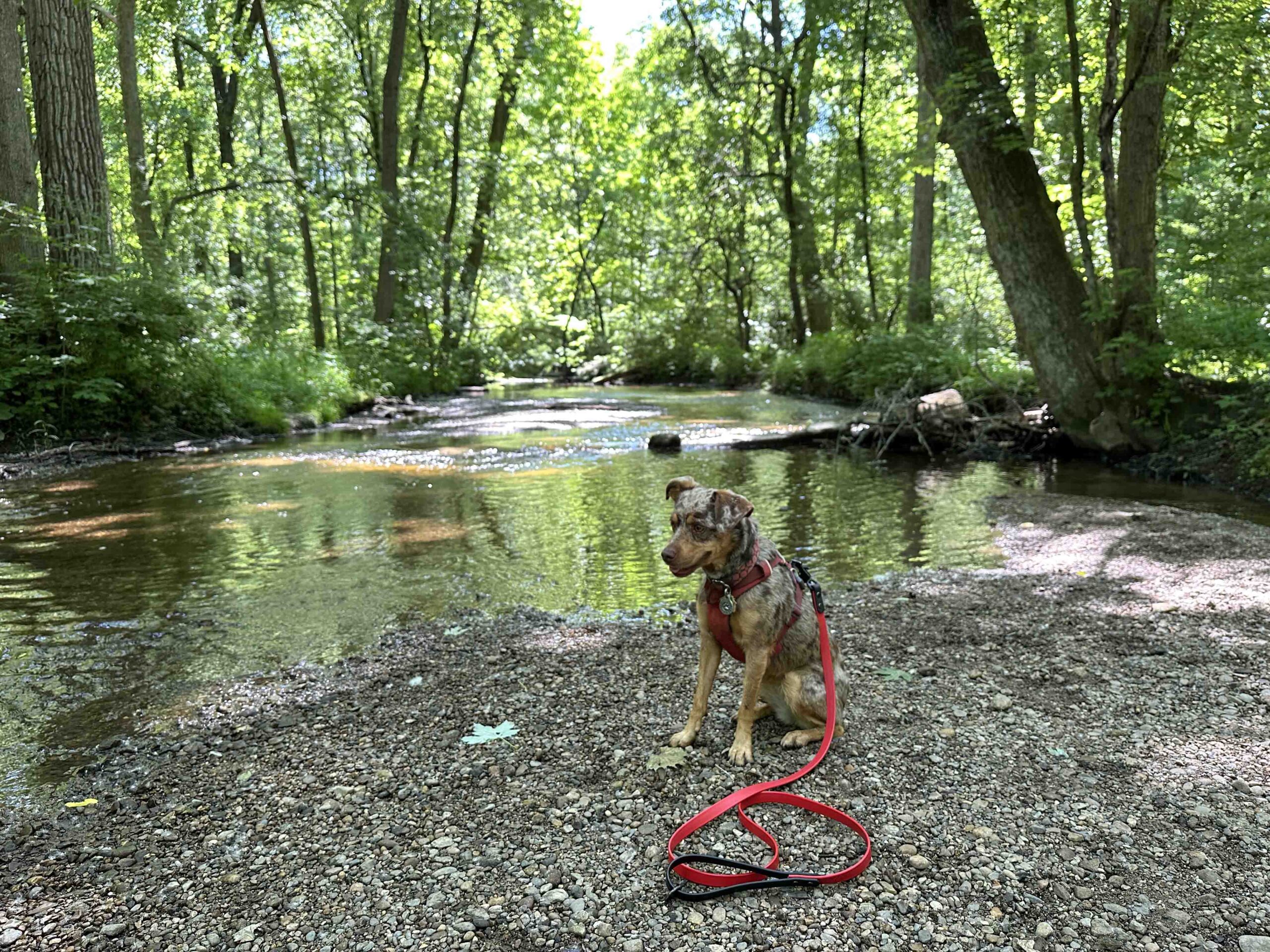
Although hikers are welcome to use the mountain bike trails, the bikers have the right of way so it’s important to listen for them and get out of the way. We found all the bikers to be friendly and considerate of those hiking. We did make sure to get off the trail and into the brush when we heard or saw one coming. While the asphalt trail was wide and relatively flat, the mountain bike trails were what you would expect. They had obstacles like tree roots, sharp turns, and inclines and descents. Although the main trail was scenic since it was surrounded by trees on both sides, we preferred the trails in the woods. Sunny was especially thrilled to find out she could get down to the water in several places.
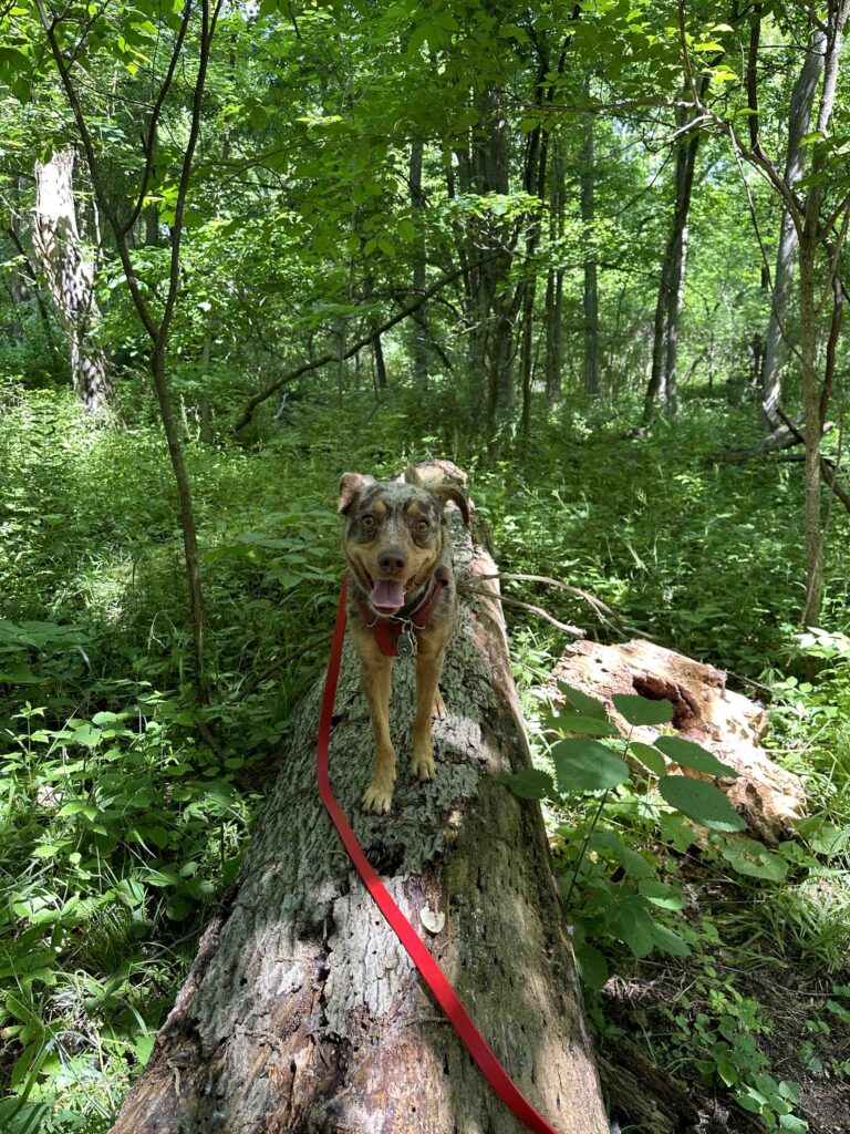
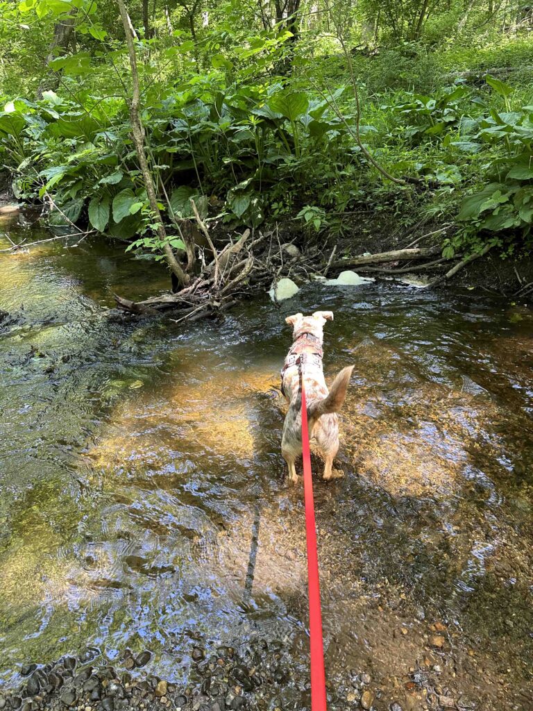

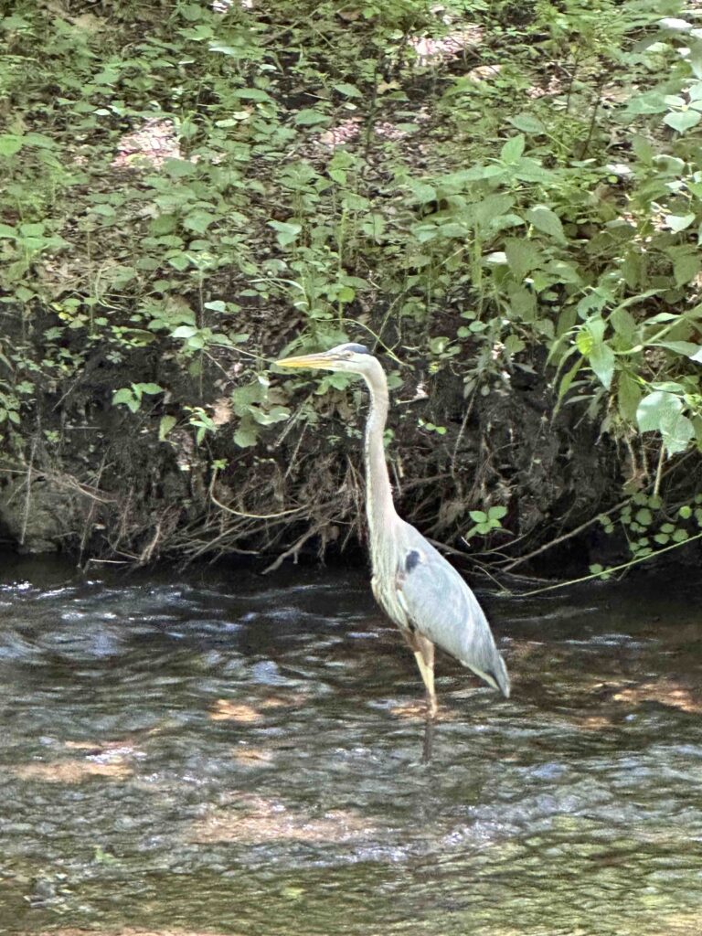
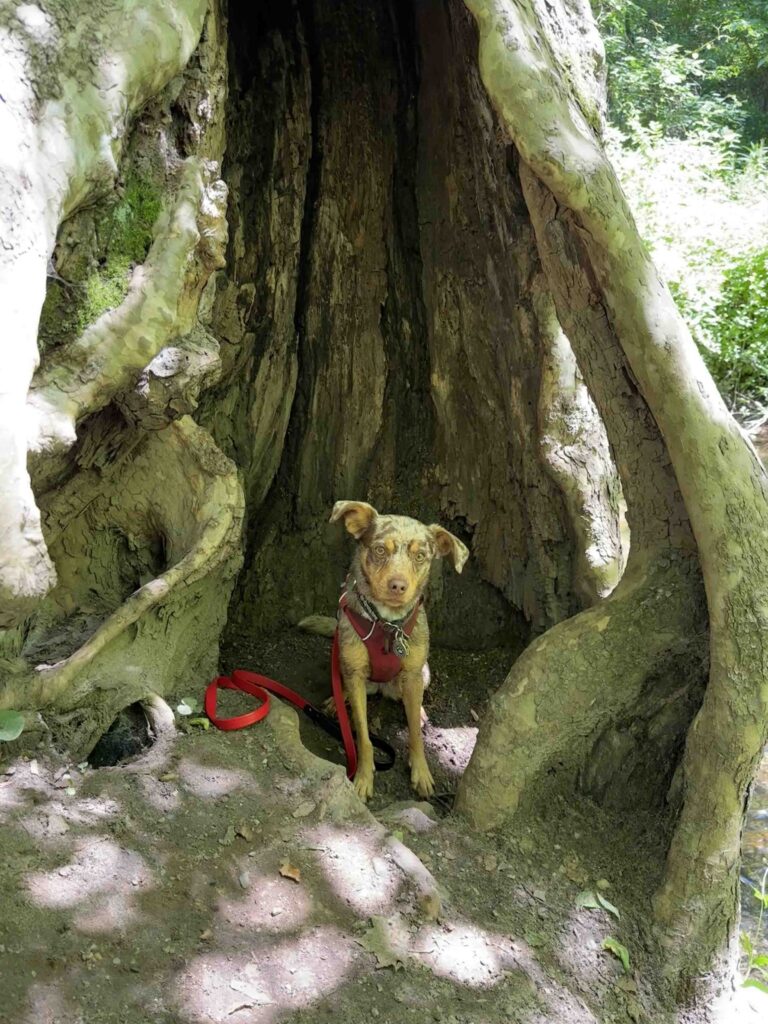
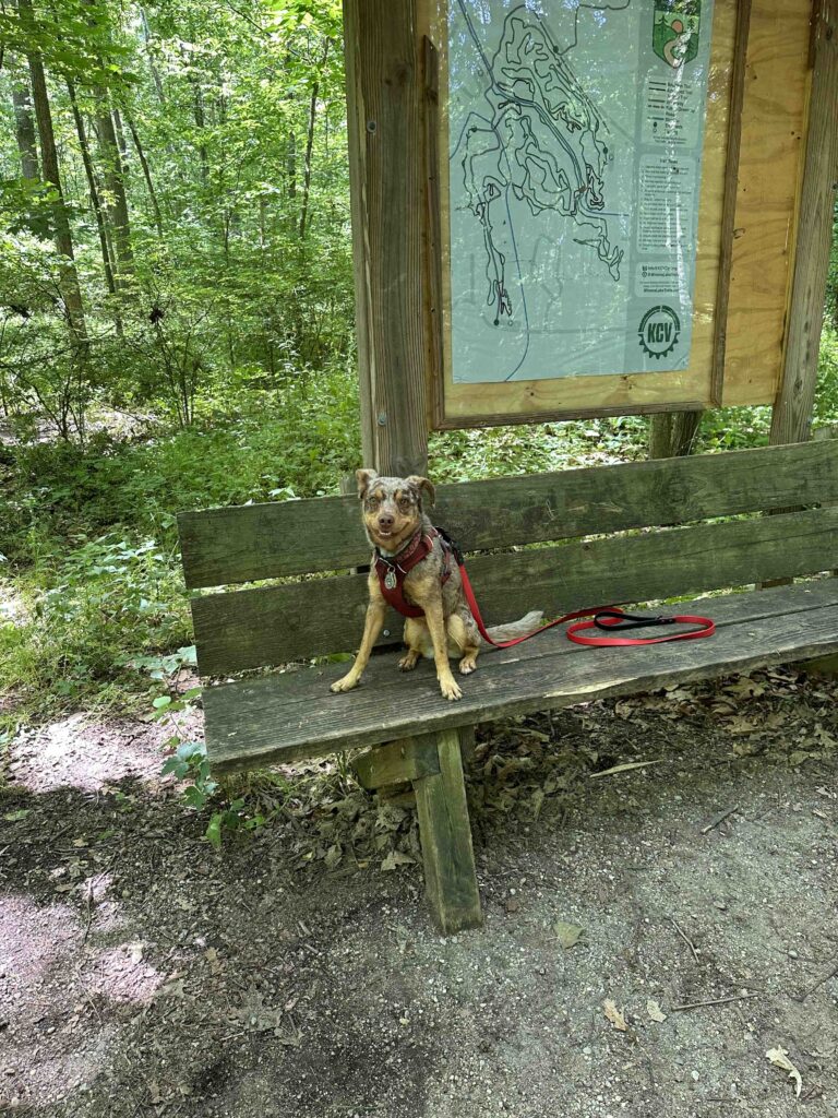
We found a lot of interesting things in the woods including some ducks and a crane in the ditch. There was an interesting tree trunk that was hollowed out. Sunny wasn’t too sure about posing in it, but she did. There was also a bridge over the ditch that led to trails on the other side of the water. This area also had a trail map and bench.
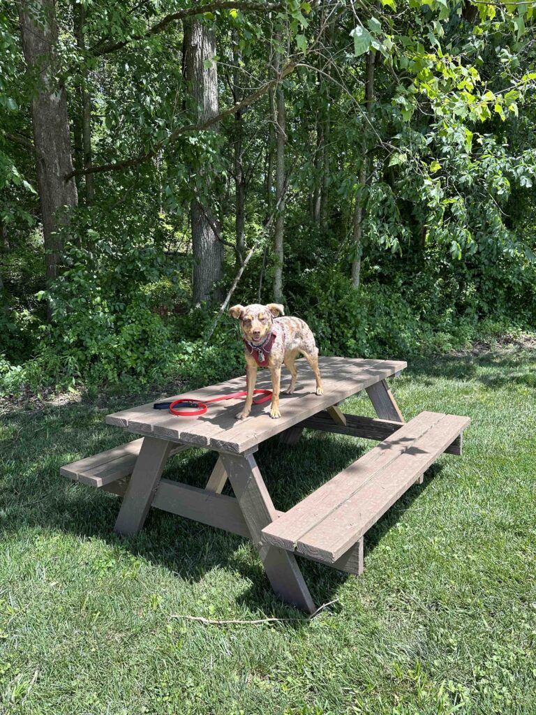
We explored the trails in the woods for quite some time before heading back to where we entered the woods. We got back on the Heritage Trail and followed it back to the parking lot on Roy Street. Both of the parking areas have small parks, including some picnic benches that make for a nice spot to rest or have a picnic.
Our Rating
Sunny and I rate Tracey’s Trail 3.5 out of 4 paws up. Although the main trail was not very long the mountain bike trails meandered through the woods for many miles. We also found it easy to stay on track and not get lost in the woods, which is not always the case with mountain bike trails. The ability to get down to the water was an added bonus that we enjoyed. The only downside is the parking lot at Roy Street does not have a restroom.
How Do I Get There?
We parked at the Roy Street entrance and used 408 Roy Street, Winona Lake, IN as our GPS destination. The parking lot is on the right-hand side of Roy Street. After parking walk to the left where you’ll find the sign and entrance to the trail.
For more information about the Winona Lake Trails and Tracey’s Trails check out these websites.
