
History of Los Penasquitos Canyon
Los Penasquitos Canyon lies between Rancho Penasquitos, Sorrento Hills, and Mira Mesa. It comprises 4000 acres with a multitude of trails. It started out owned by Francisco de Maria Ruiz in 1815 and today is owned by the City of San Diego. The land was originally used to raise livestock and graze cattle. And in the 1960’s they tried to develop it, but by 1970 it was owned by the City and County of San Diego for use as a park and open space. We are certainly glad it was saved from development and preserved for biking and hiking.
Los Penasquitos Canyon Trail
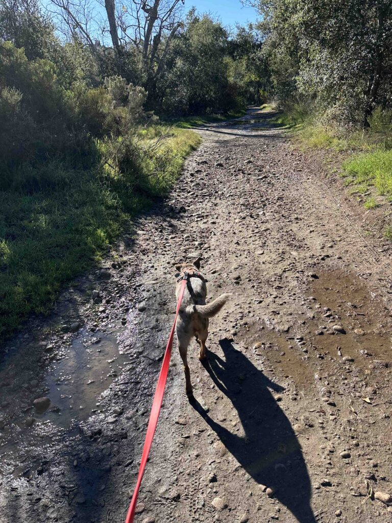
The Los Penasquitos Canyon Trail can be accessed from a variety of areas. Today we went to the trailhead off Black Mountain Road. At this location you can get onto the trail in several spots. We decided to go to the trailhead off Canyonside Park Driveway. This part of the trail leads to the Penasquitos Creek.
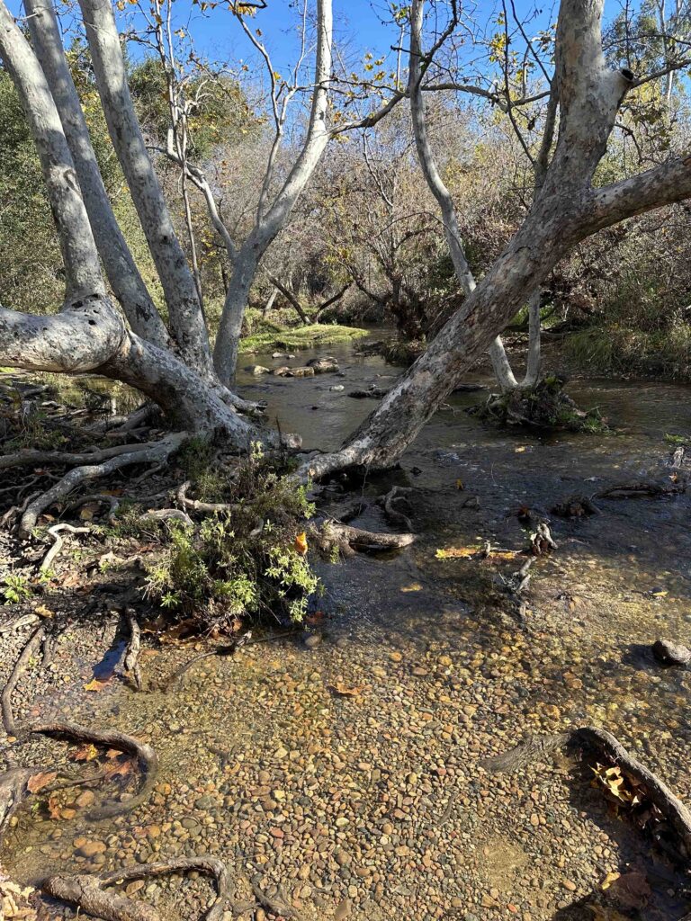
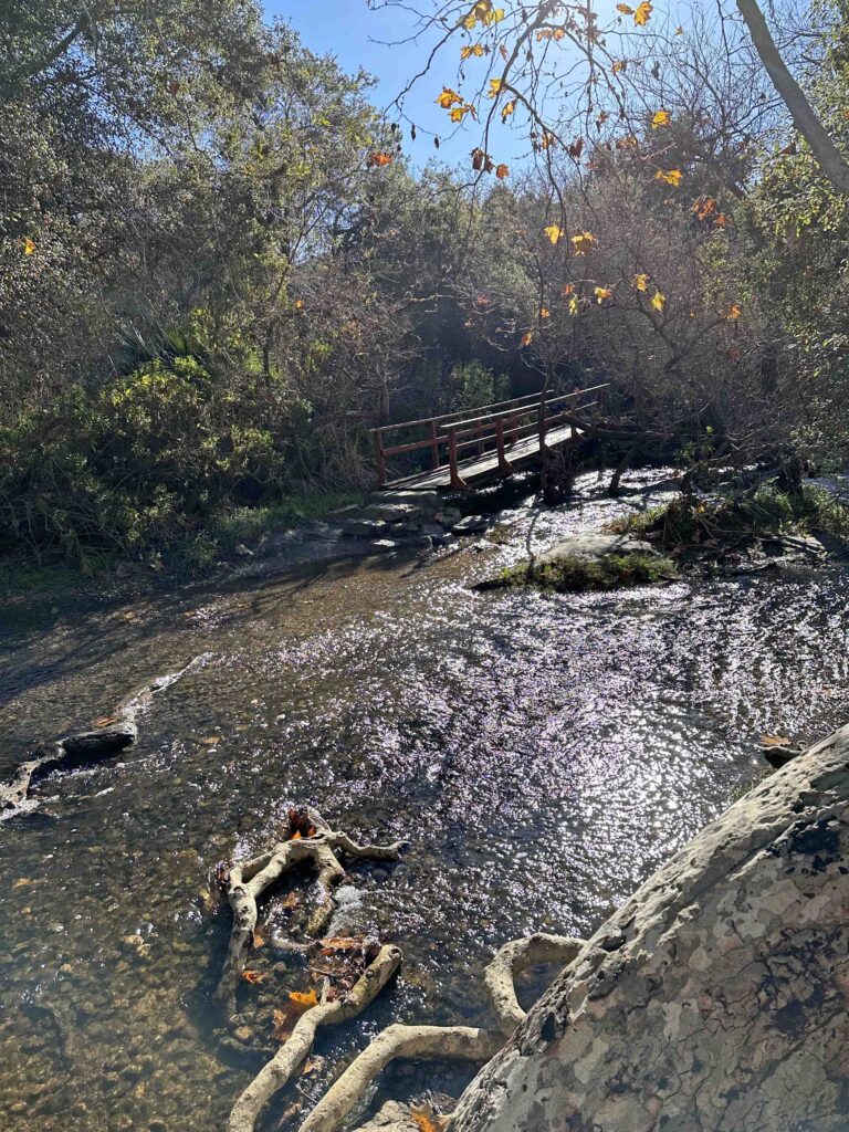
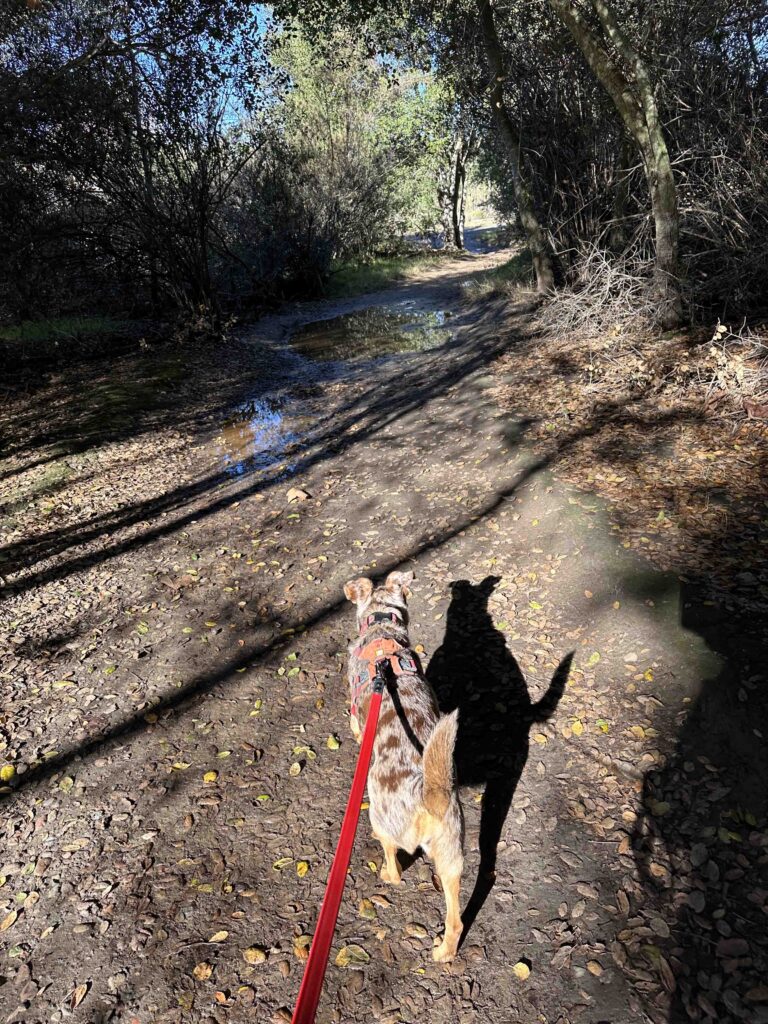
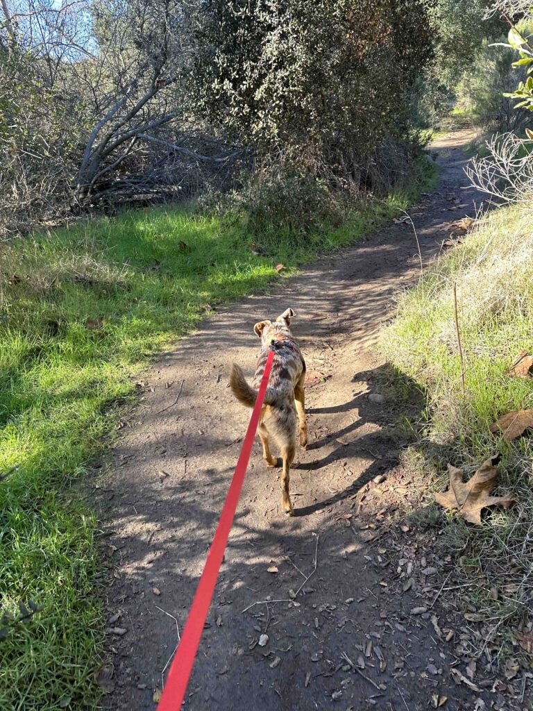
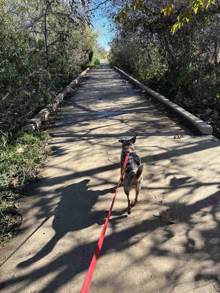
We had rain last night so the trail was a bit muddy. And when we got to the creek we noticed it had gone over the side. This closed a section of the trail as we could not get to the bridge over the creek. Instead we took the trail to the ranch and then continued past the ranch. This looped back to the original trail and over the creek. We followed that for awhile and then crossed back over the creek at the Penasquitos Creek Crossing. The trail then turned to the right and followed behind some homes. Eventually the trail led back to the ball fields and the parking lot. We managed to hike for 2.36M on a somewhat unconventional and circuitous route. No matter we had a wonderful day enjoying the sunshine and nature. Sunny was just happy to be back on the trails.


Our Rating
Sunny and I rate this section of the Los Penasquitos Canyon Trail 3 out of 4 paws up. The main downside is parking can be challenging, especially on the weekend when the ball fields are busy. The trail is also susceptible to closing if the creek runs over the side. Despite that it’s a nice hike with some shade, especially near the creek. Most of the rest of the trail is in the open, making for a hot hike in the summer. The trail has a few inclines, but is mostly flat. There are only a few signs so it can be easy to get turned around. All in all this section of the trail provides a nice hike, but it’s not quite as scenic as the hike to the waterfall.
For more information about Los Penasquitos Canyon checkout the City of San Diego website.
City of San Diego – Los Penasquitos Canyon
How Do I Get There?
For this section of the trail use 12350 Black Mountain Road as the location. From I-15 take exit #17 – Mercy Road. Turn left onto Mercy Road and follow it for 1.4M and then turn right onto Black Mountain Road. After .2M turn left onto Canyonside Park Driveway. We like to drive past the ball fields and at the end turn right to park. The trailhead is across the Canyonside Park Driveway. Just look for the trail map sign and gate. You can also access the trail on the left side near the end of the parking area.

