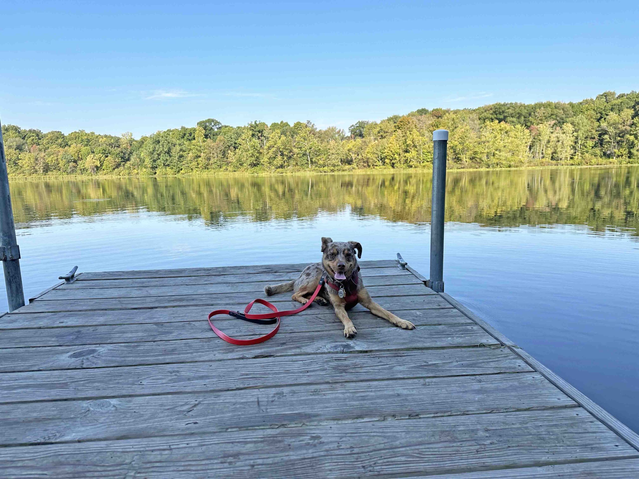
Another beautiful day in Northern Indiana had us looking for a new adventure. We decided to explore Deniston Natural Resource Area and I have to be honest. I was disappointed. Despite that we made the best of it and explored all the trails and the lake.
Deniston Natural Resource Area is a wooded area with a gravel road that leads to Robinson Lake. On either side of the gravel road there are trails in the woods. At one time camping was allowed however this is no longer the case.
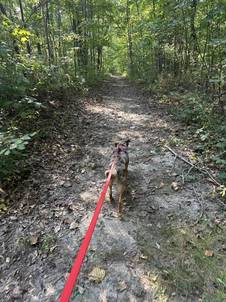
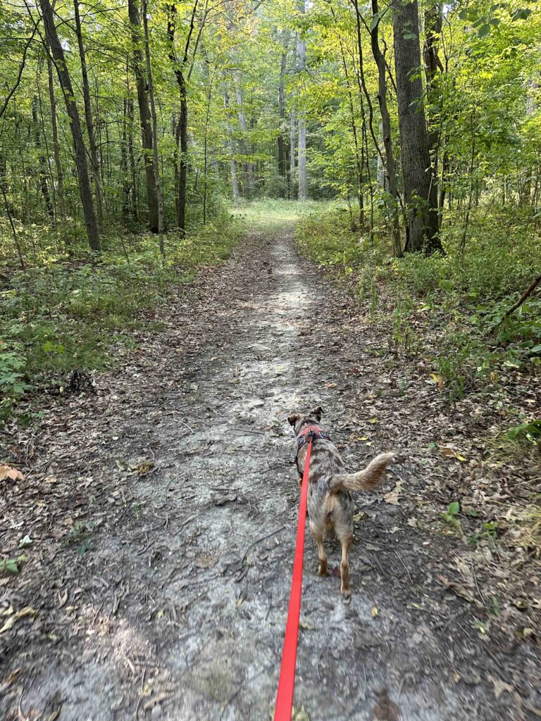
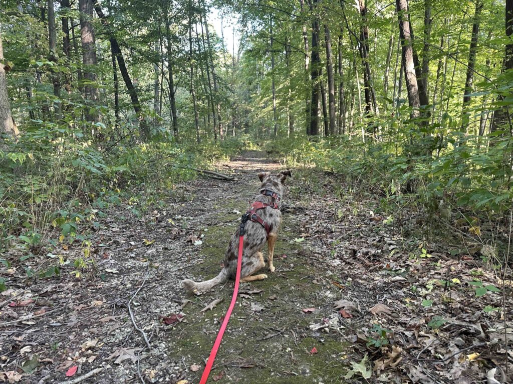
We started our hike by walking up the gravel road from parking area 1. After a short distance we found a trail on the left and entered the woods. The trail was quite wide with woods on either side. It started as packed dirt but quickly turned into rocks. After a short distance it opened to an area with a tree and some grass before narrowing and continuing downhill. This is where we turned around. The trail was quite narrow and very steep. I was not sure where it led and was concerned whether we could make it back up the steep incline. It also had narrowed so much that I wasn’t sure the trail was going to continue very much longer.
Once we returned to the gravel road we continued on it until we found Robinson Lake, the boat launch, and a dock. This area also had more parking and a port-o-potty. We explored the boat ramp and the dock before trying a trail behind the port-o-potty. This trail didn’t go very far before it was impassible. We turned around and walked back along the gravel road toward the car.
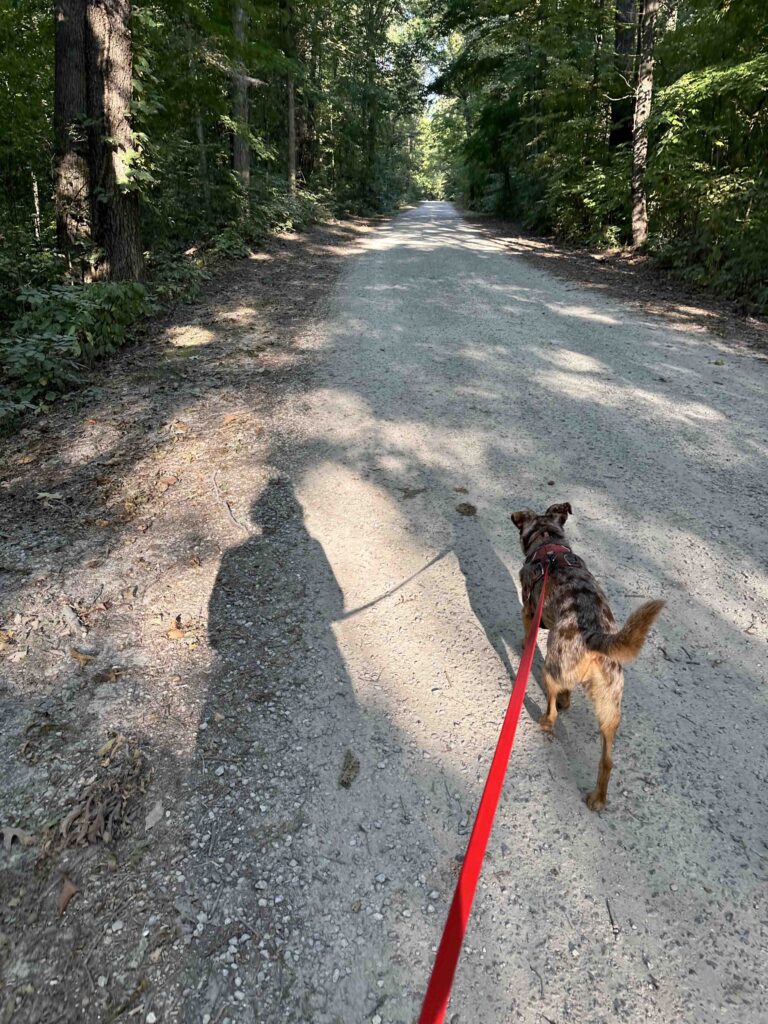
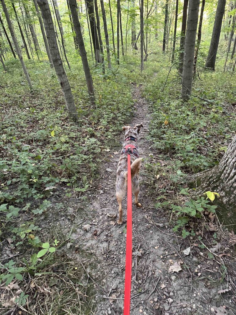
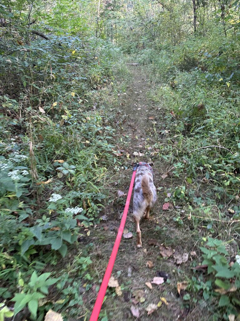
We found two additional trails to explore. The first one started like the first trail, but quickly became narrow with a lot of vegetation. Once Sunny was engulfed in the vegetation we decided to turn around.
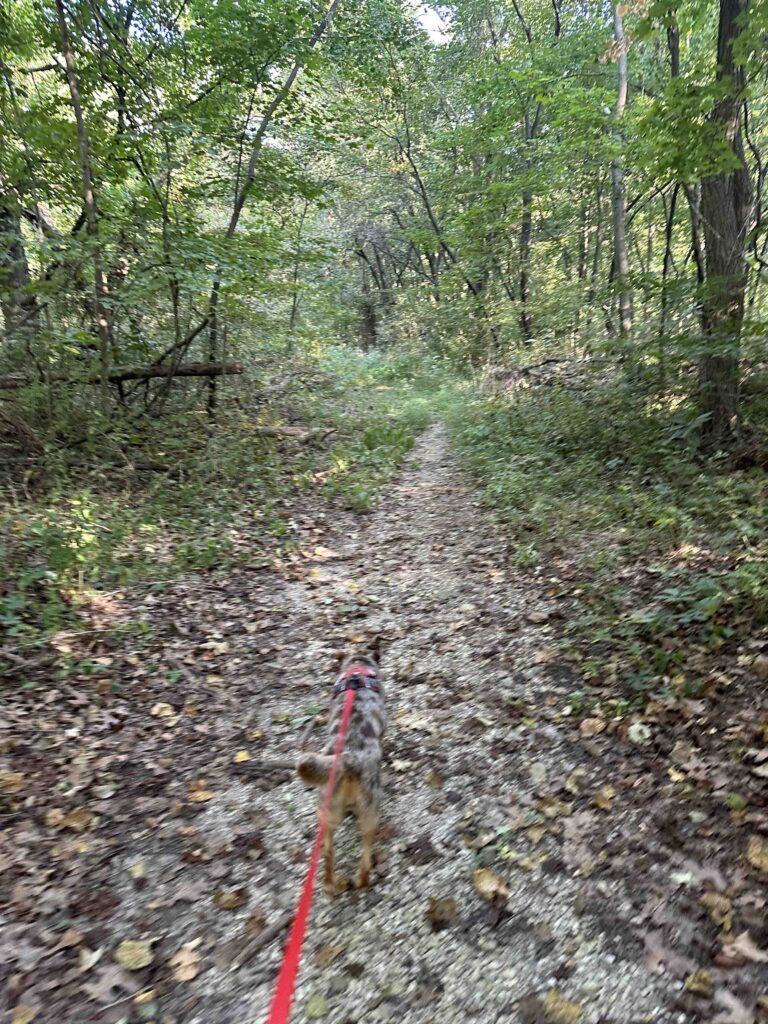
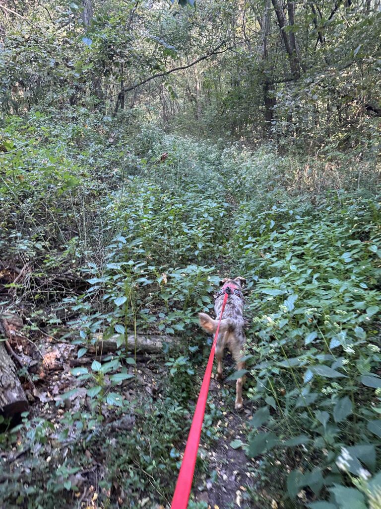
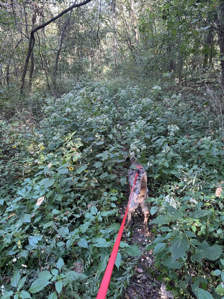
A little while later we found another trail. This one had several logs over the path. Sunny and I didn’t mind climbing over them, but this might be difficult for some people. We followed the trail for a short distance and it started to get much more narrow and eventually was too overgrown for us to continue. We turned around and retraced our steps to the gravel road. By this time we were nearly back to the car and there were no other trails to explore.
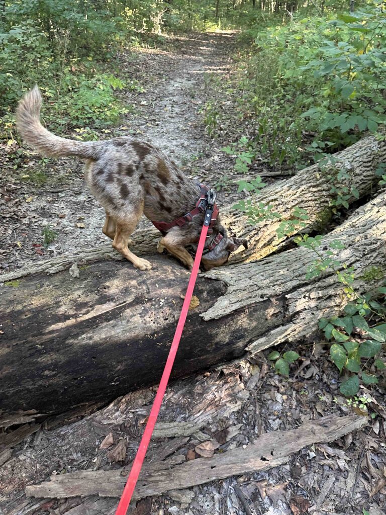
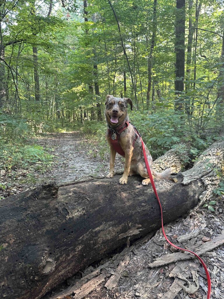
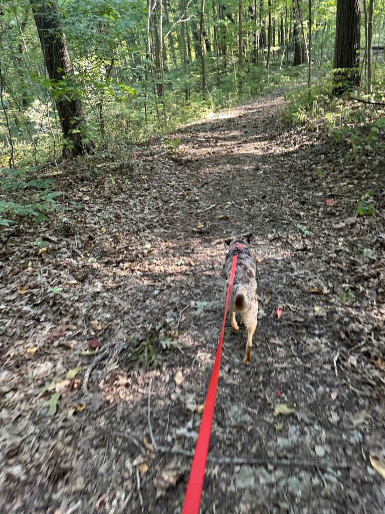
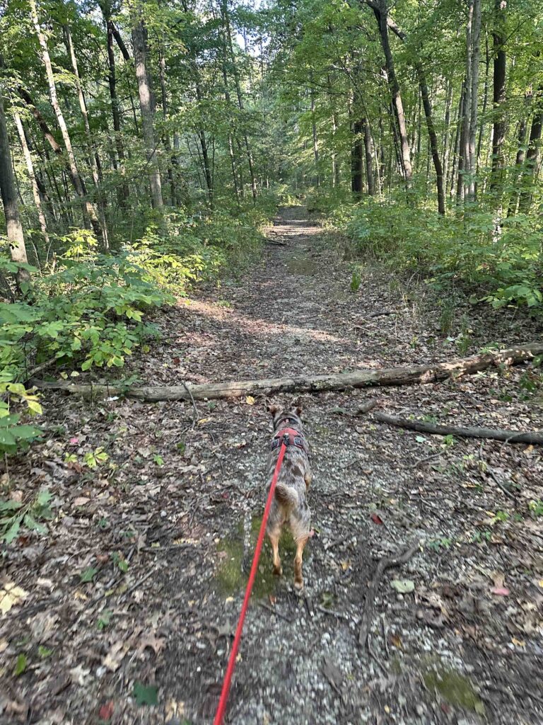
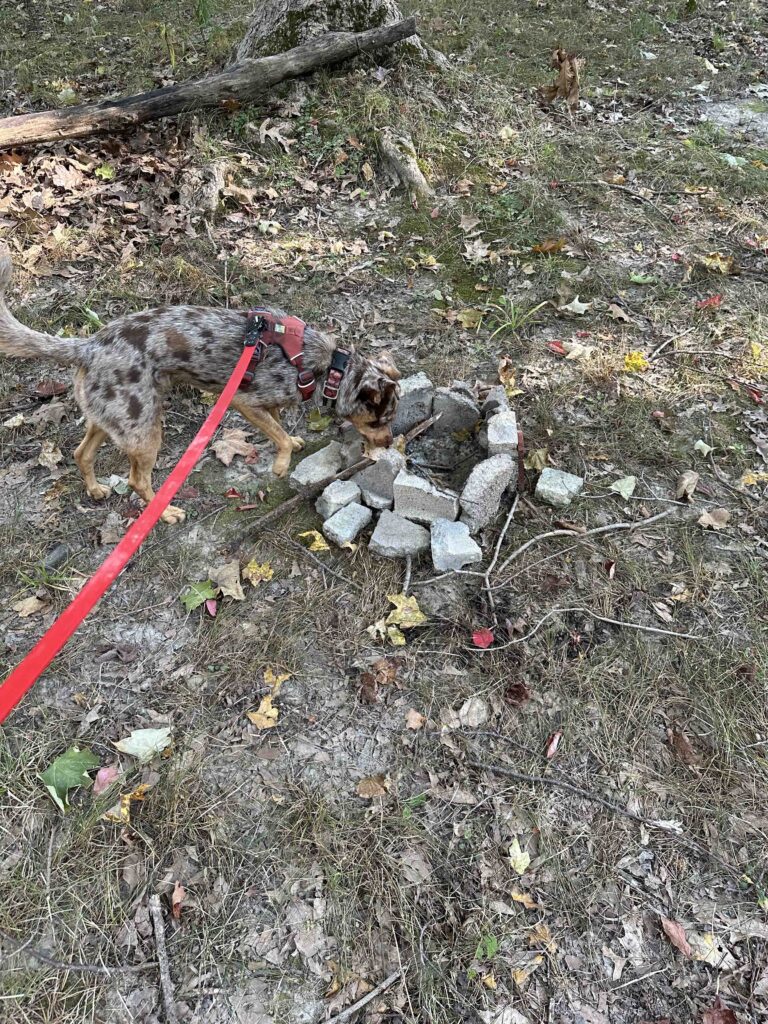
One thing we noticed on several trails were areas where campfires had recently been. It seems that although camping has not been allowed for several years that some people are still camping here. To be honest this spooked me a little even though we did not encounter anyone else in the woods.
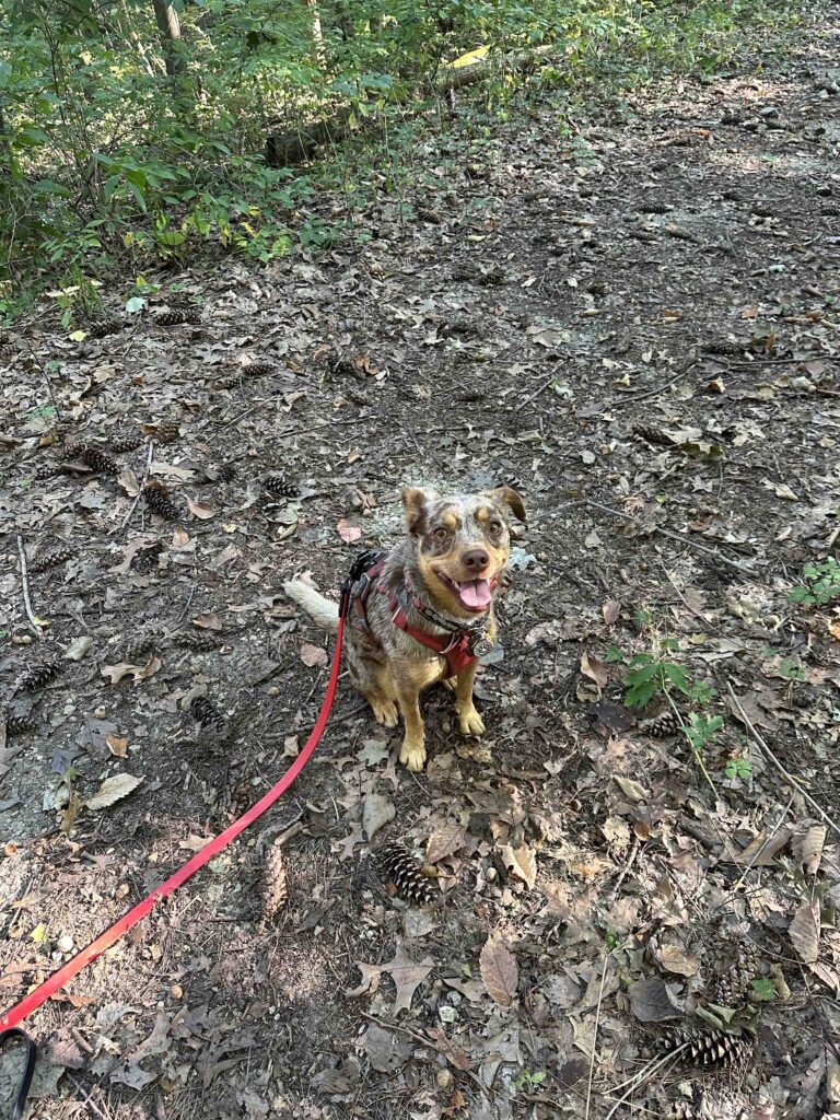
Despite not being able to hike very far on the trails Sunny had a great time. There were a lot of critters in the woods. We could here the squirrels and chipmunks scampering around and chirping at us. We did not see any other critters but I am sure there were others watching us from afar.
Our Rating
Sunny and I rate Deniston Natural Resource Area 1.5 out of 4 paws up. The rating would be higher if the trails were in better condition. Although we managed to hike 1.85M it was only because we tried nearly every trail and walked along the gravel road to the lake. Despite the rating the woods are beautiful and the lake is lovely. There is also good parking and a port-o-potty near the lake.
How Do I Get There?
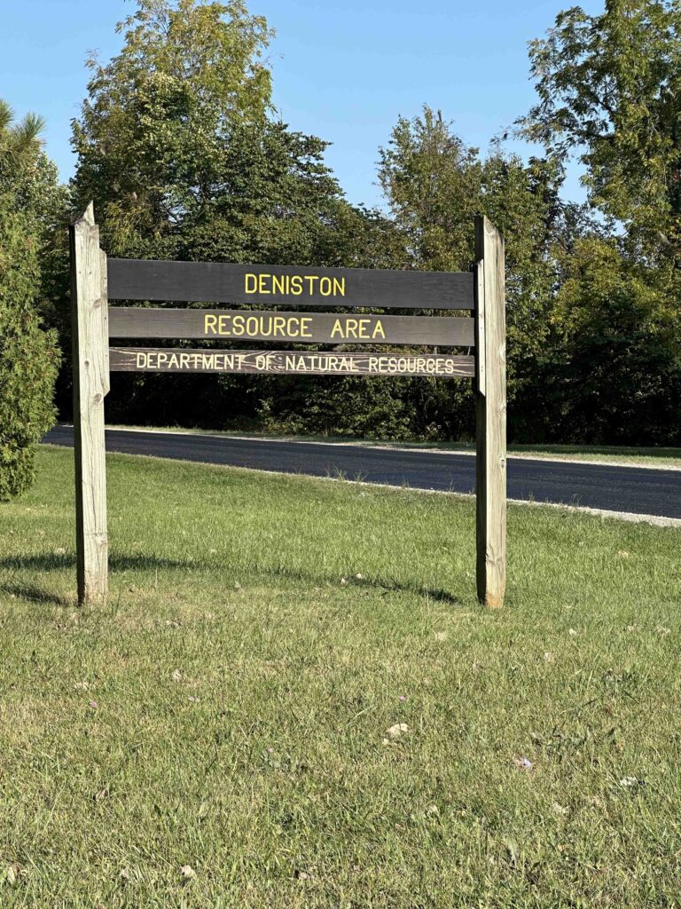
The address for Deniston Natural Resource Area is 7865 W Lincolnway in Larvall, IN. From I-69 take exit 309B and turn onto US-30W/US-33N. Follow US-30W for 18 miles, then turn right onto W. Lincolnway and continue for nearly 9 miles. Look for the entrance sign and gravel road on the left. Once you turn onto the gravel road there is a parking lot on the left or you can continue on the road to the boat launch and park there. Do not park on any of the grassy areas.
I found it difficult to find very much information about Deniston Natural Resource Area. The Clearly Kosciusko County website has some basic information. Check it out at Clearly Kosciusko.
