
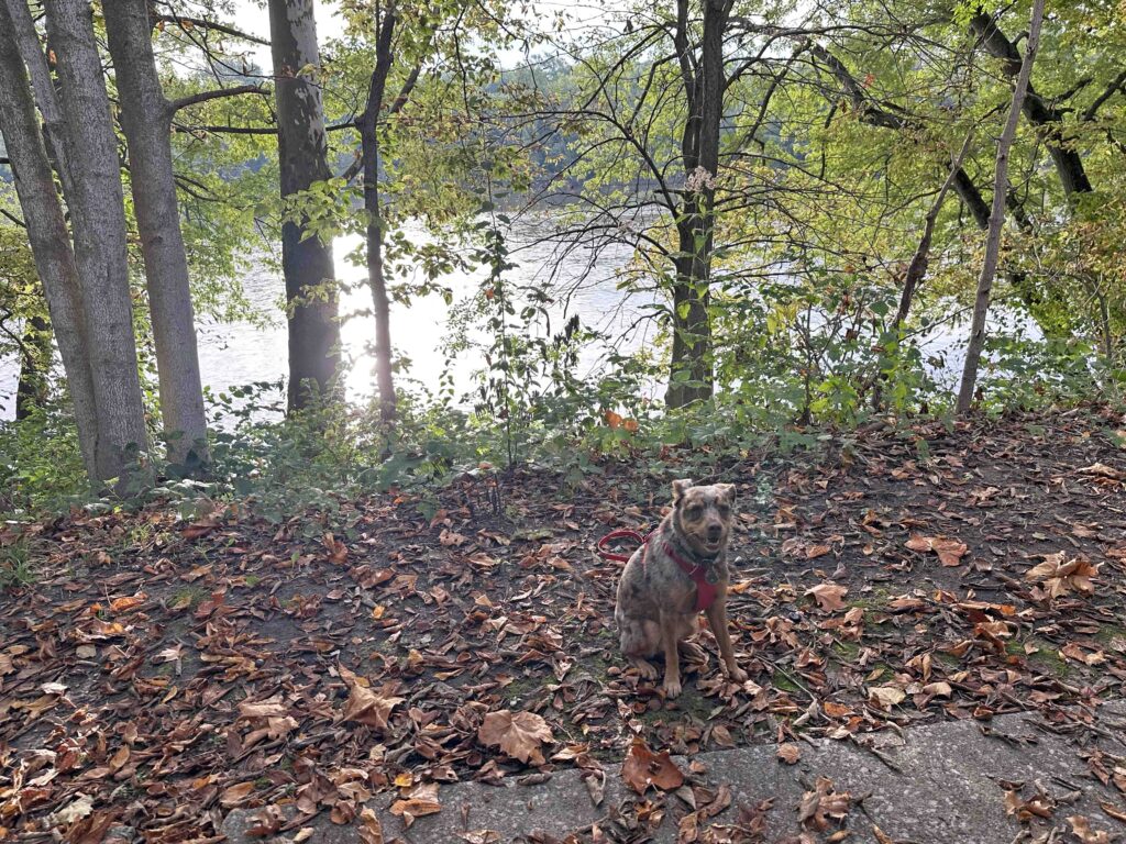
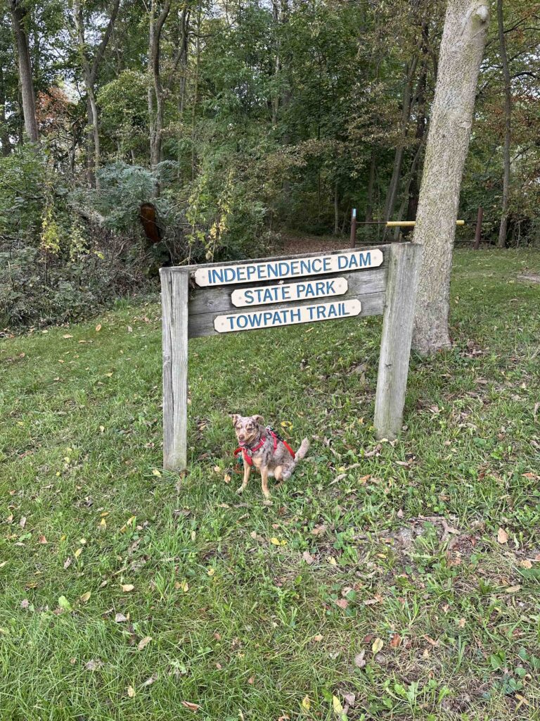
We’re having gorgeous fall weather, which is perfect for hiking so today we ventured to Independence Dam State Park near Defiance, OH. What we found is a beautiful park along the Maumee River with a three mile hiking trail that was once used by mules and horses.
History of the Park
Although the park was established in 1949, the land it is built on has a long history. Originally, the land was part of the Great Black Swamp, a 120 mile wetland comprised of dense beech, maple, and sycamore trees. During the War of 1812, General James Winchester, leader of the Kentucky militiamen, established Camp No. 3. Unfortunately, the soldiers arrived in summer uniforms and experienced a brutal, snowy winter. The provisions grew so scarce that they dubbed the site “Fort Starvation”. During the construction of the canal in the 1840’s workers found a burial site of over 300 soldiers. The towpath, now a 3-mile hiking trail from the park to Florida, OH was once the path that mules and horses walked to pull heavy boats through the canal’s water. By the 1860’s the railroad replaced canals as the main source of transporting goods. In 1913 a flood destroyed much of the canal infrastructure.
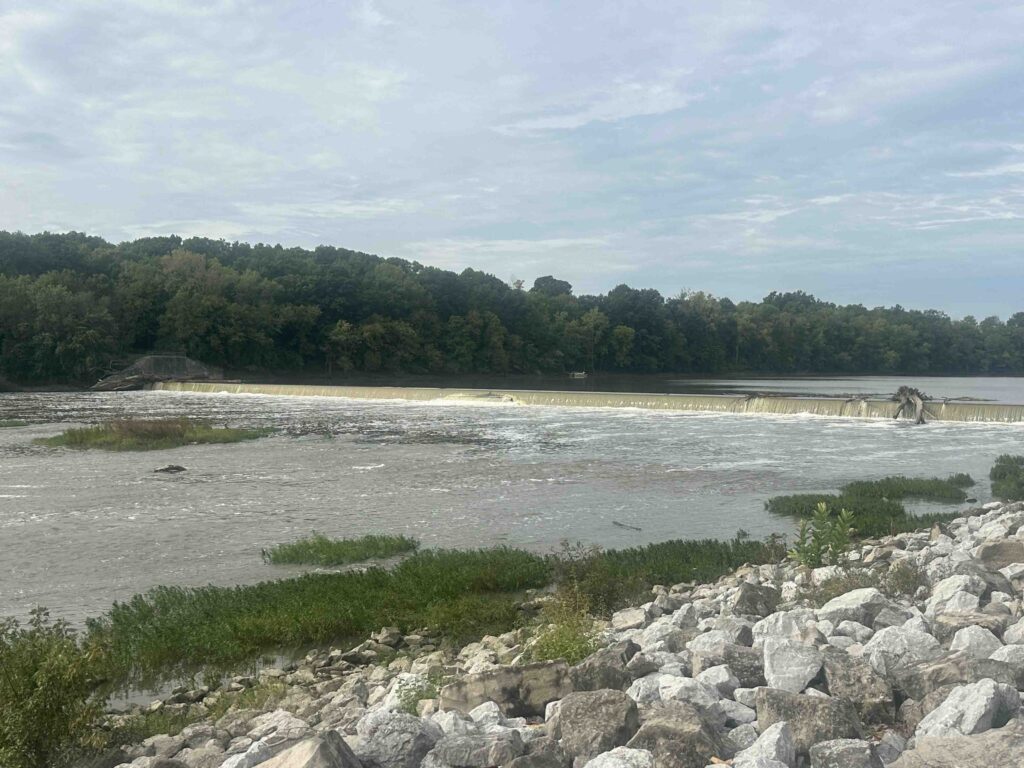
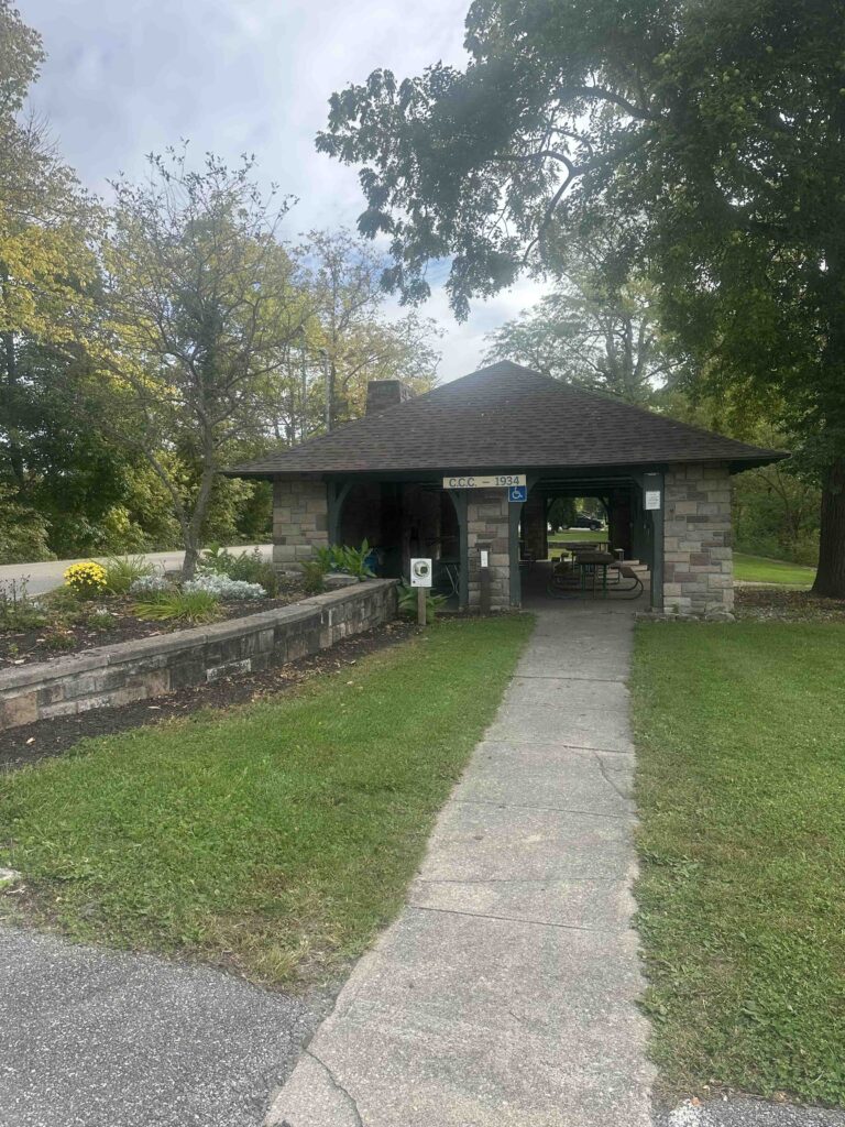
The original dam on the Maumee River was built from wood in the 1800’s to supply water to the Miami and Erie canals. It was replaced with the current concrete dam in 1924. Once completed, local civic groups worked to preserve the land between the river and canal. Then in the 1930’s the Civilian Conservation Corps (CCC) built many of the stone shelters throughout the park. The Ohio Department of Public Works purchased the land and opened the park in 1949. Today the park is managed by the Ohio Department of Natural Resources. The Independence Dam State Park encompasses 591 acres with playgrounds, walking trails, campsites, and picnic shelters.
Our Adventure
After parking the car, we found a trail behind the campsites that runs along the river. Since no one was camping during our visit, we followed this trail enjoying the views. There was a section with steps down to the river, so we explored that. Once we climbed back up the steps, we continued walking behind the campsites until we came to the road. We followed the road for a short distance and found the entrance to the towpath.
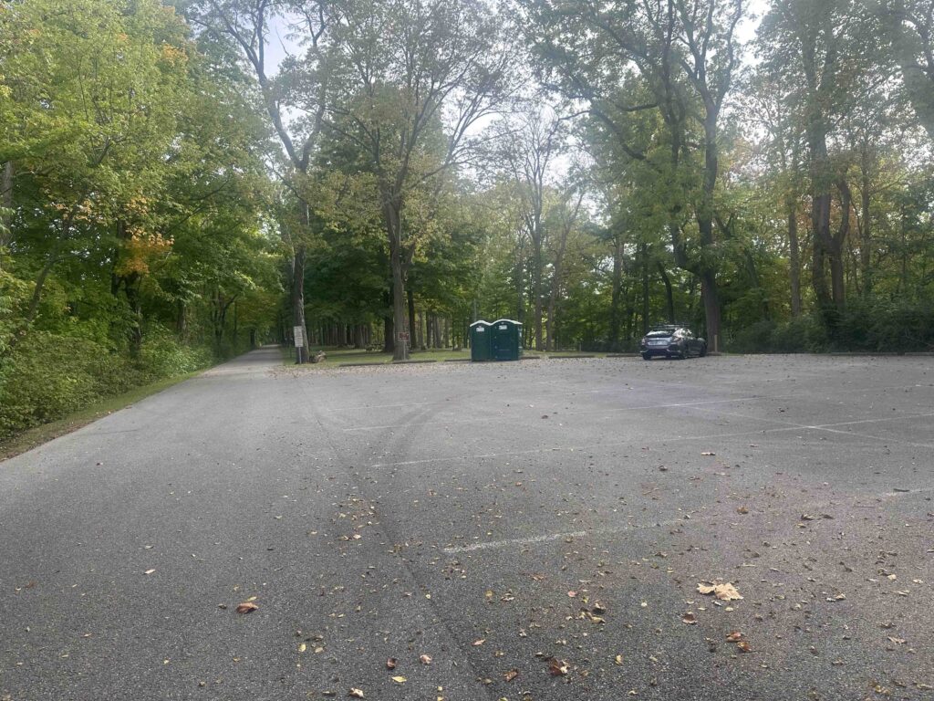
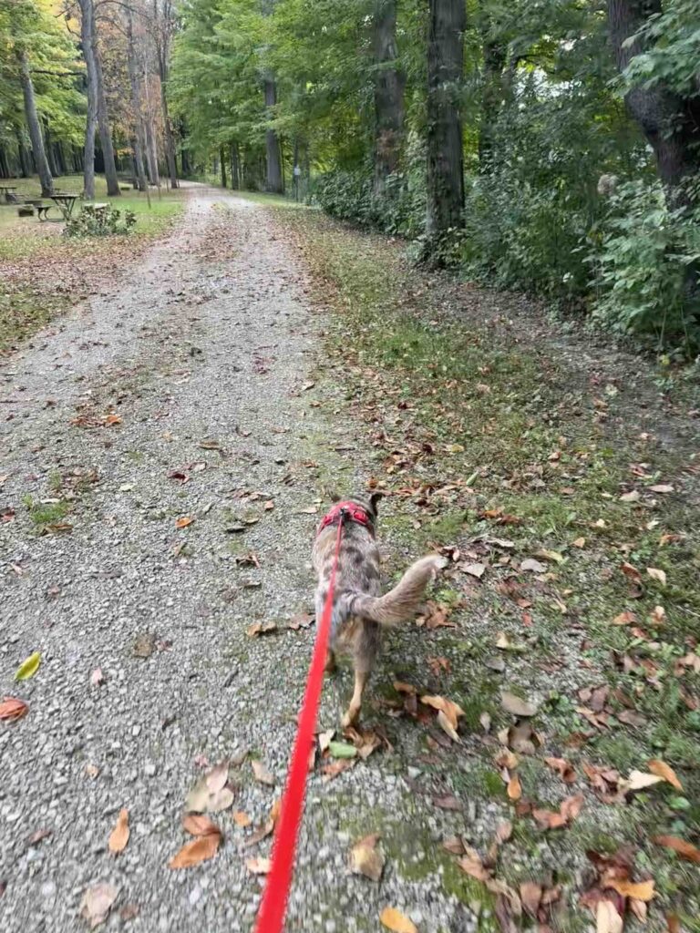
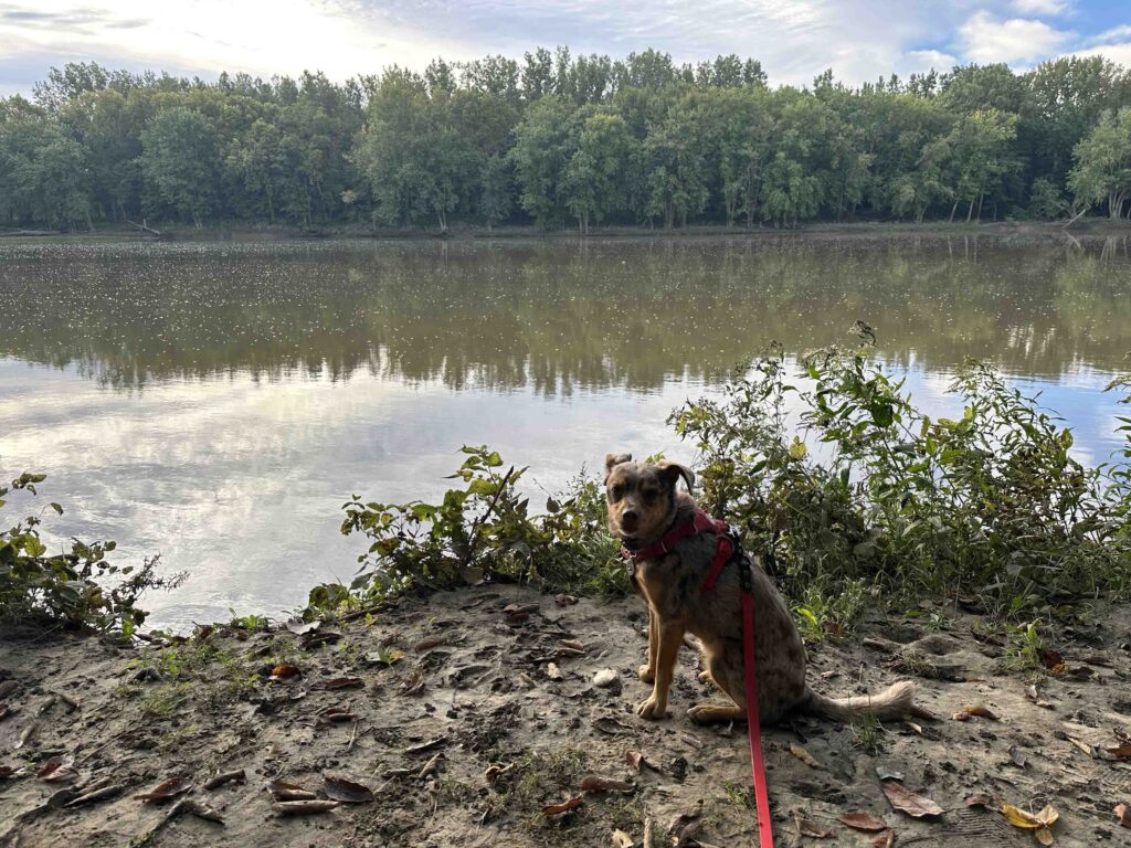
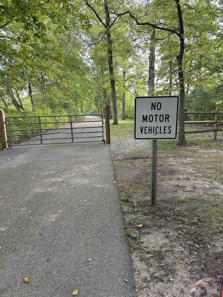
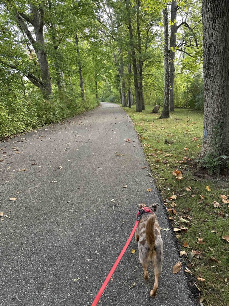
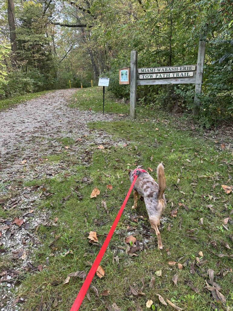
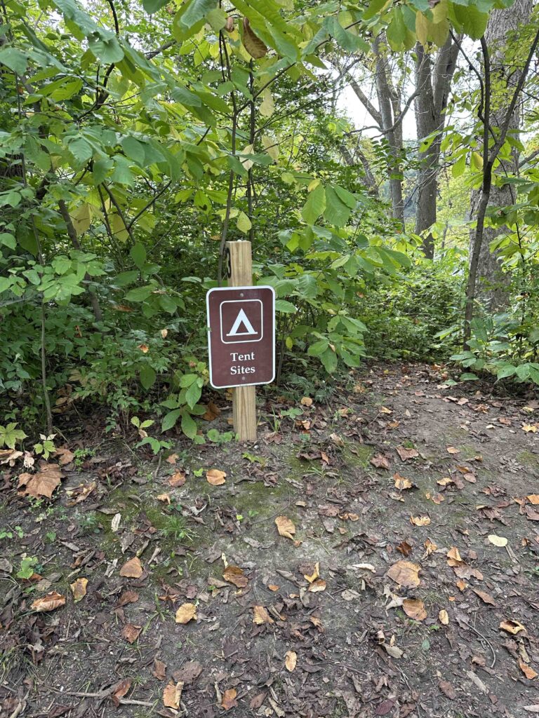
Walking along the towpath trail really feels like you are in the woods. There are views of the canal and the Maumee River peeking through the trees in many areas of the trail. There are also sections that remind you of how densely wooded this area was at one time. The trail is flat and hard packed dirt and grass. At the beginning are some tent campsites and one last port-o-potty. Along the trail there are a few benches to take a break and enjoy the scenery.
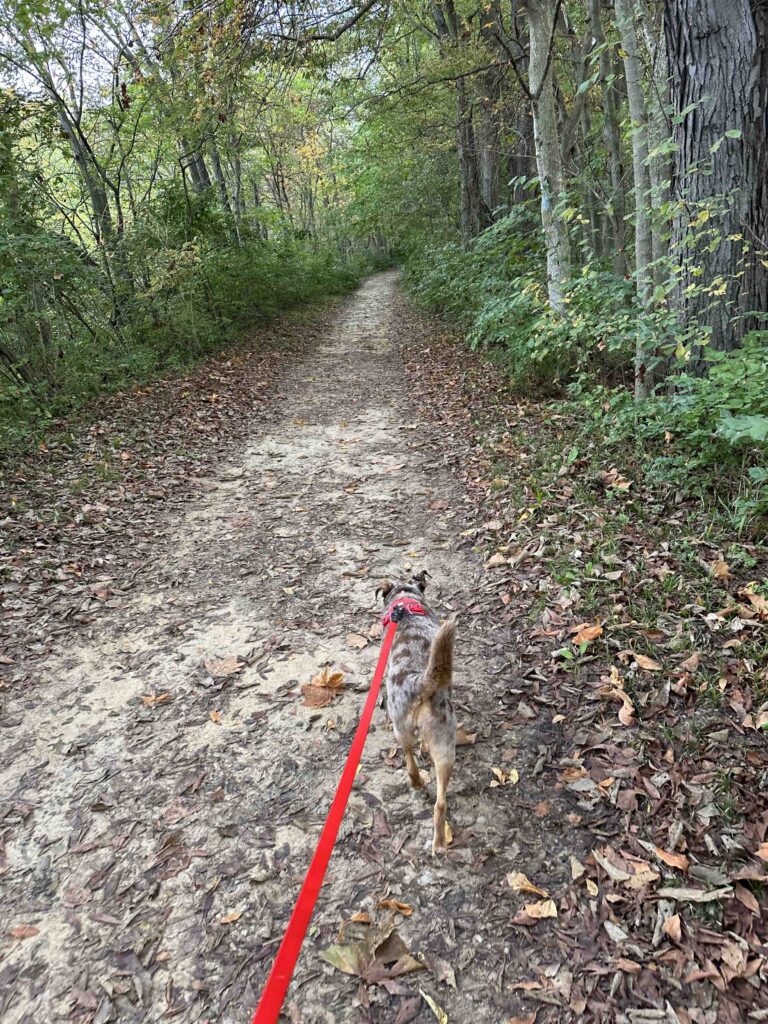
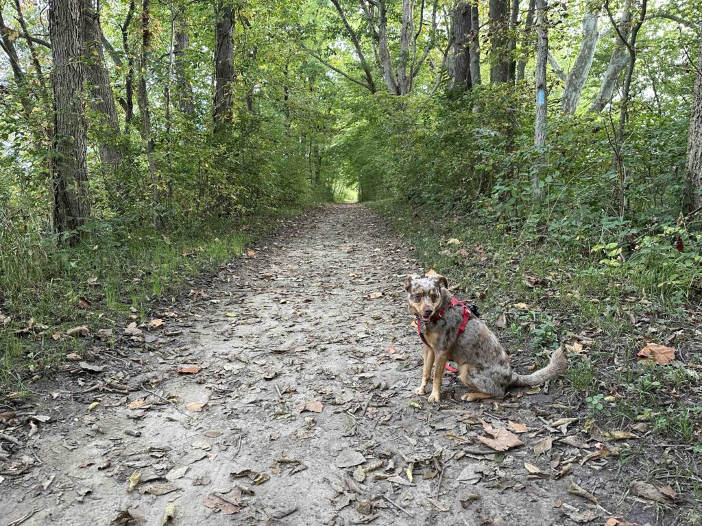
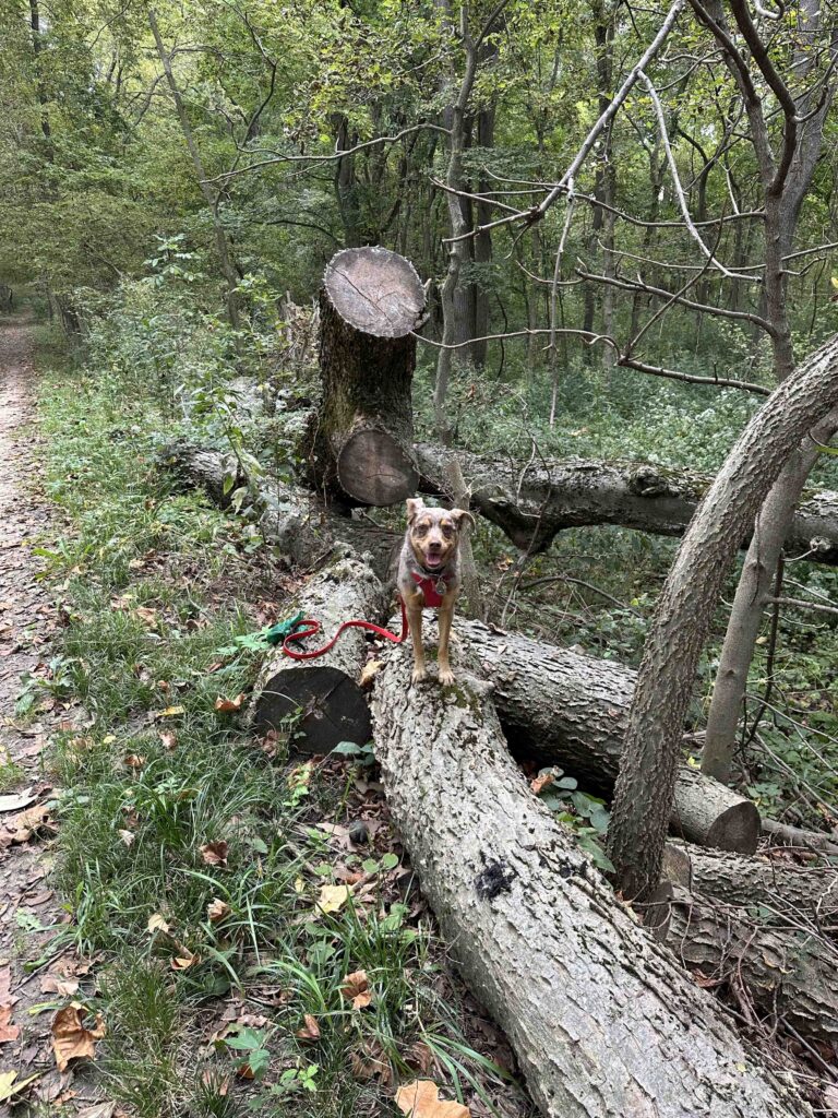
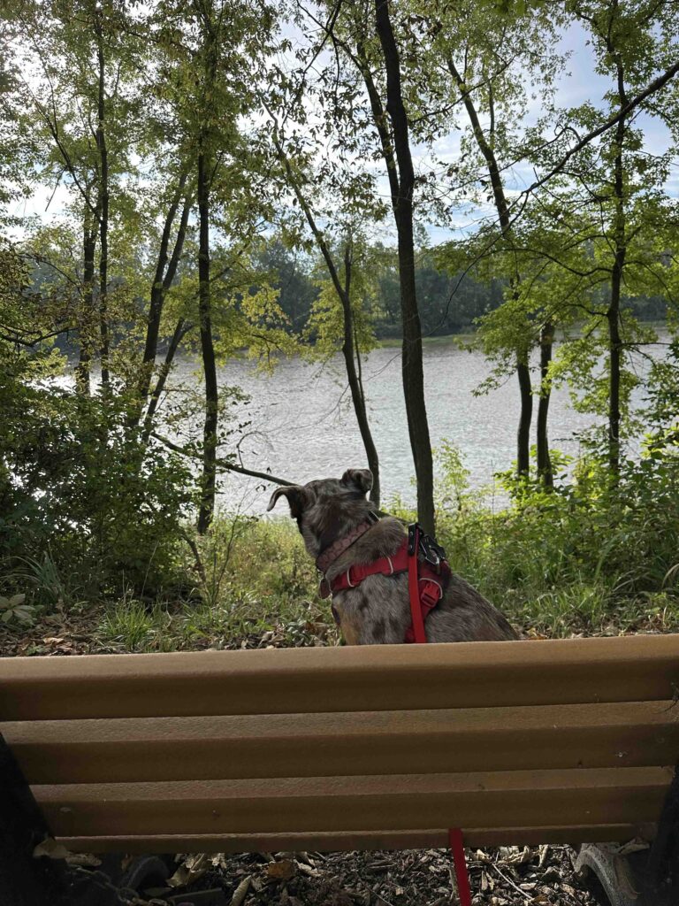
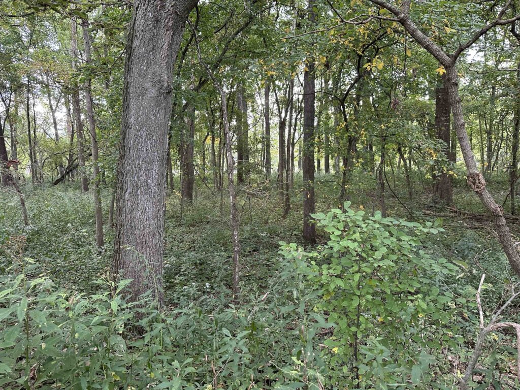
The trail continues for nearly 3 miles and ends at the Florida, OH entrance to the towpath. There is a nice parking area for those starting their hike from this location. After checking out the parking area, we turned around and headed back down the trail to our car. Our total hike was 6 miles.
Sunny’s Perspective
This place is fantastic! There are so many amazing smells especially once we got on the towpath. I could smell and hear all sorts of critters. We took a really long walk, but I loved every minute of it. I sure hope we return to this trail.
Our Rating
Sunny and I give Independence Dam State Park 4 out of 4 paws up. There really isn’t anything we didn’t enjoy. The entire park is beautiful with a something for everyone – hiking trails, picnic areas, beautiful views of the river and canal, beautiful woods, interesting history, and ample parking and restrooms. The trail is dirt so it’s not suitable for those with mobility issues. It is flat making for an easy hike up to six miles. The best part for us, is it’s less than an hour drive and there is no entrance fee. We will definitely return to explore this park and trail again. I think it would be especially beautiful once the leaves start to turn.
How Do I Get There?
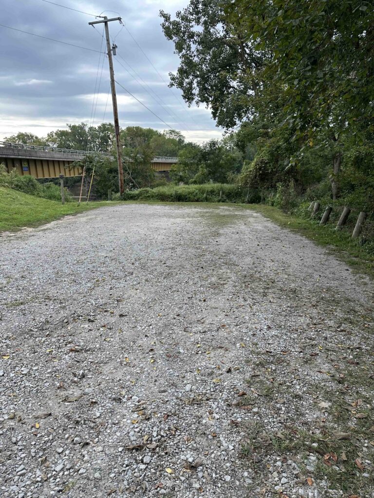
Take OH-15 through Defiance, Ohio then turn left onto US-24E toward Napoleon. Continue for almost 3 miles and then take exit #28 for OH-28 281E/Domersville Road. Continue for a mile and then turn left onto Deerwood Drive. After .1 mile turn right left onto OH-424E. Continue for about 2 miles. Pass the first entrance for the park which is just for the boat ramp. Turn right at the second park entrance and drive past the dam, shelters, and playgrounds. Follow signs for the campground which is about 2 miles from the entrance. You will come to a stop sign and a sign indicating only campers beyond this point. There is a parking area just prior to this sign.
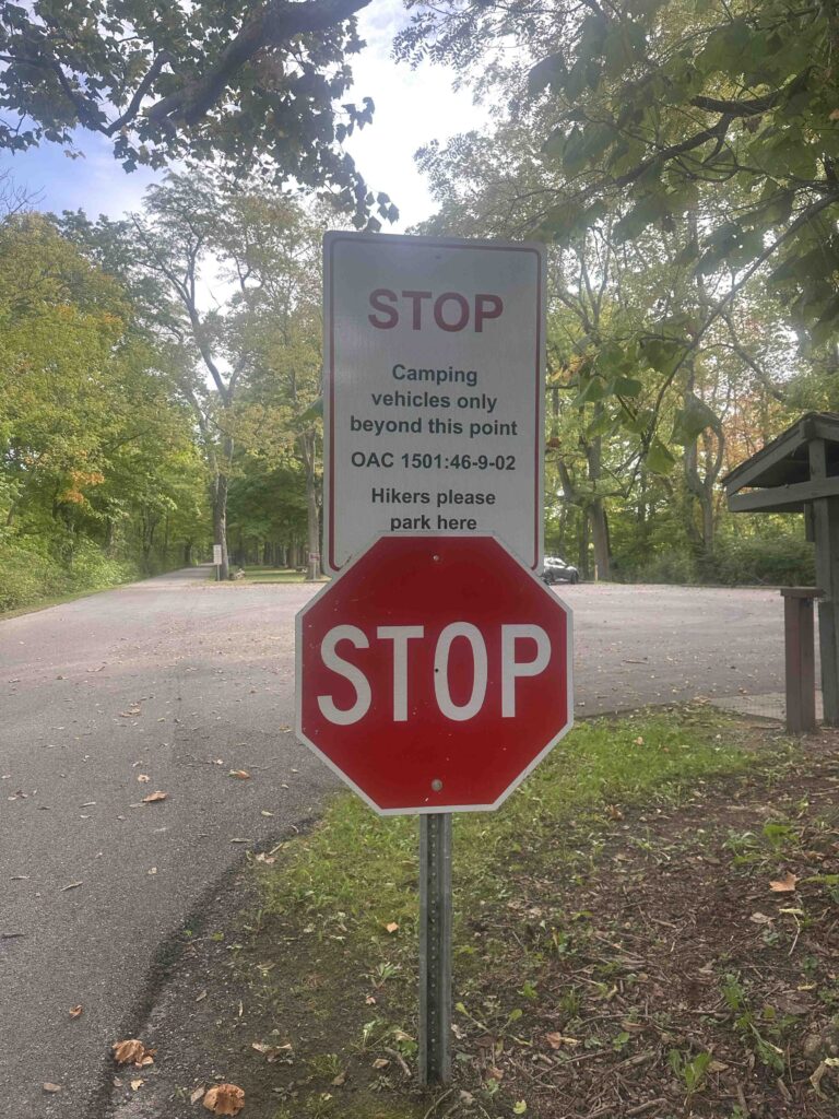
To access the towpath either walk down the road or the trail near the river. There is a sign indicating the start of the towpath.
For more information about Independence Dam State Park, check out these websites: