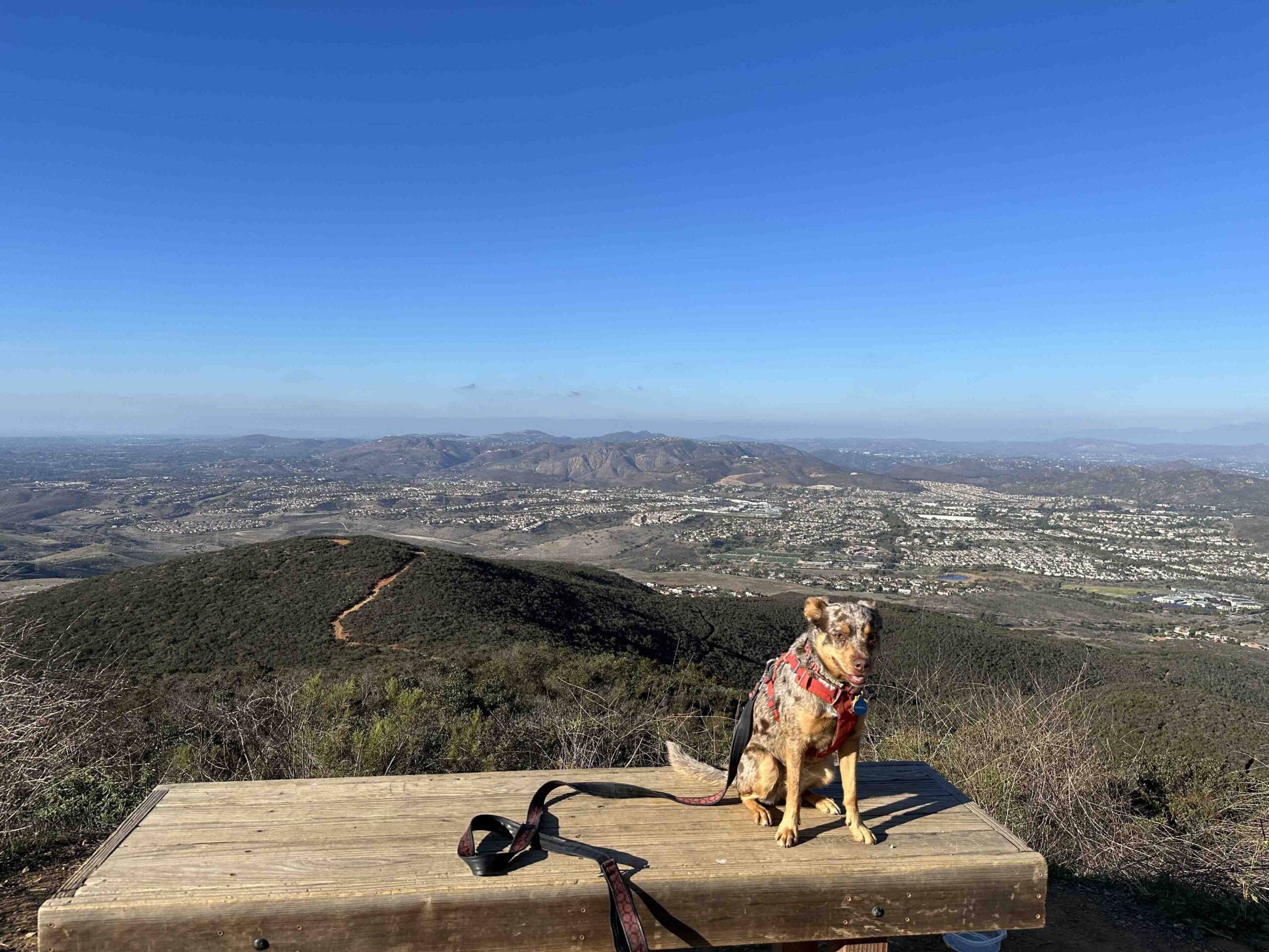
Another beautiful day in San Diego, another wonderful adventure. Sunny and I visited Black Mountain Open Space and conquered the Nighthawk Trail. This is a trail that Karlie and I hiked several times and is another of our favorites. Although Karlie (and Sunny) loved billy goating up the trail, it is not for the faint of heart. The trail is just over 2M and is nearly all uphill to a 1552 ft elevation summit. But the views along the way and especially at the summit are well worth the challenge.
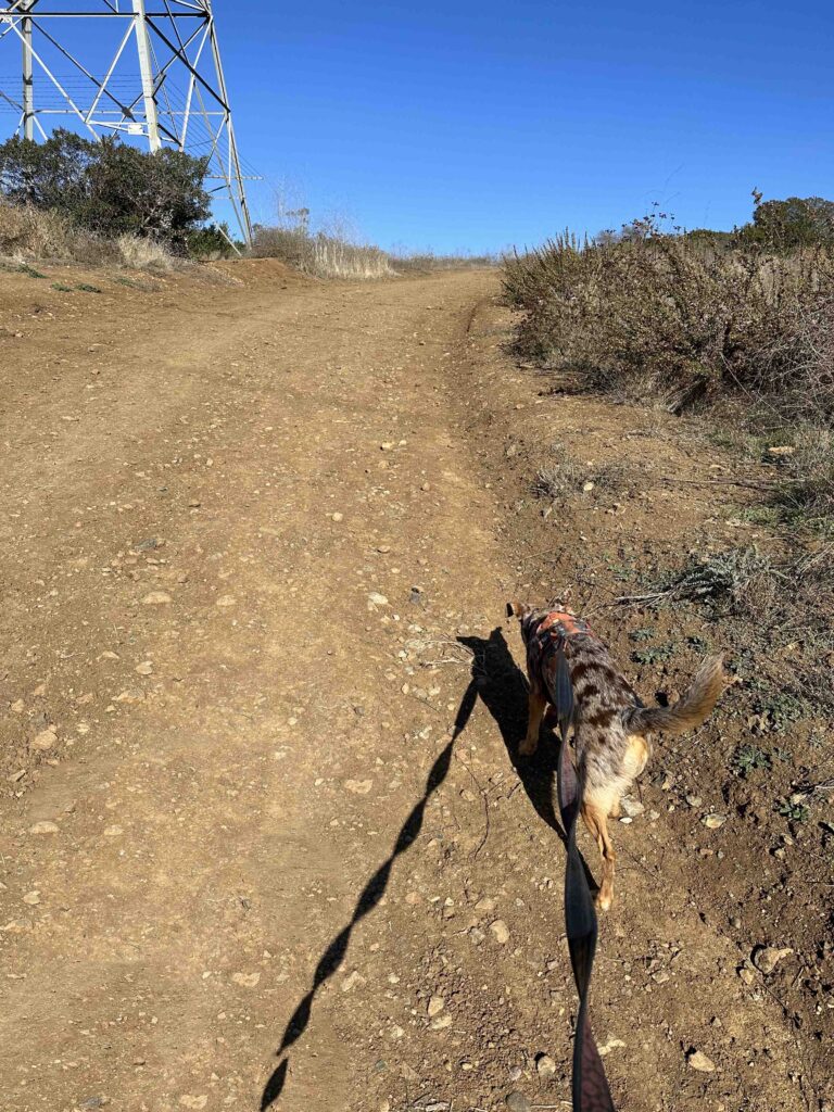
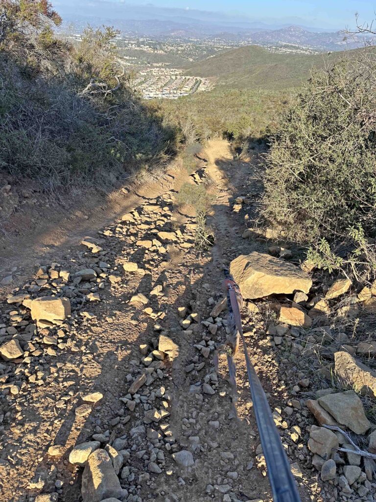
The trail immediately starts to go uphill as you walk past an electric transmission tower. Once past the tower it’s a typical packed dirt trail with vegetation on both sides. As you go a little further the trail becomes pretty rocky and remains that way for much of it.
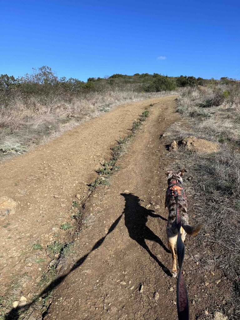
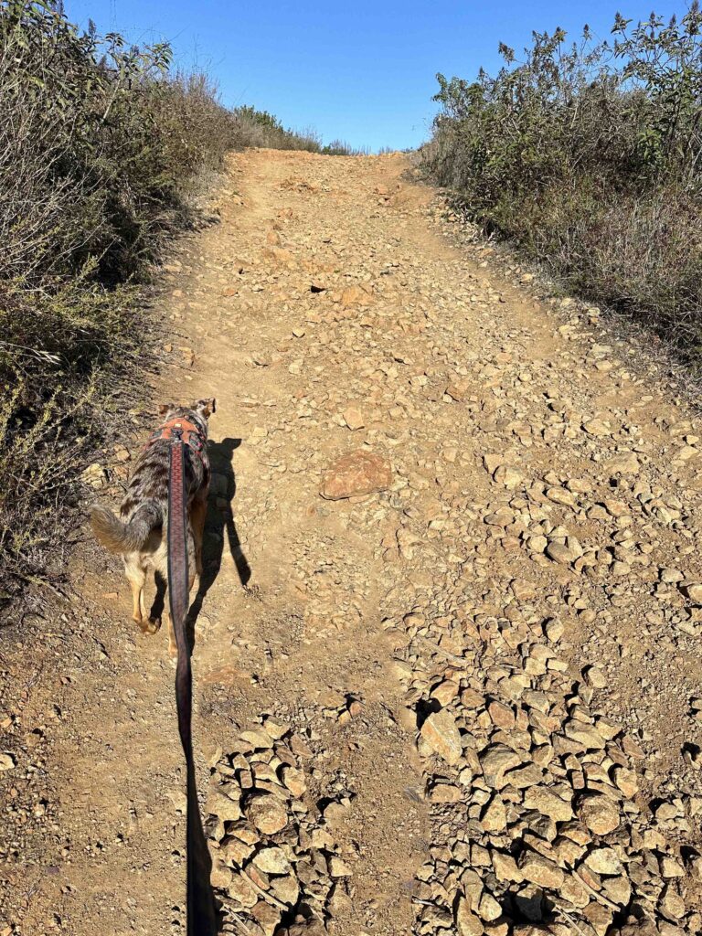
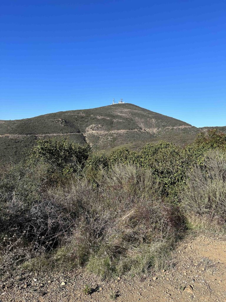
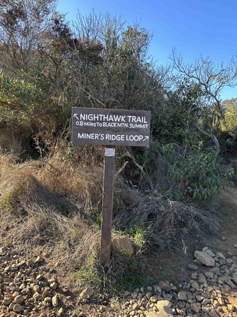
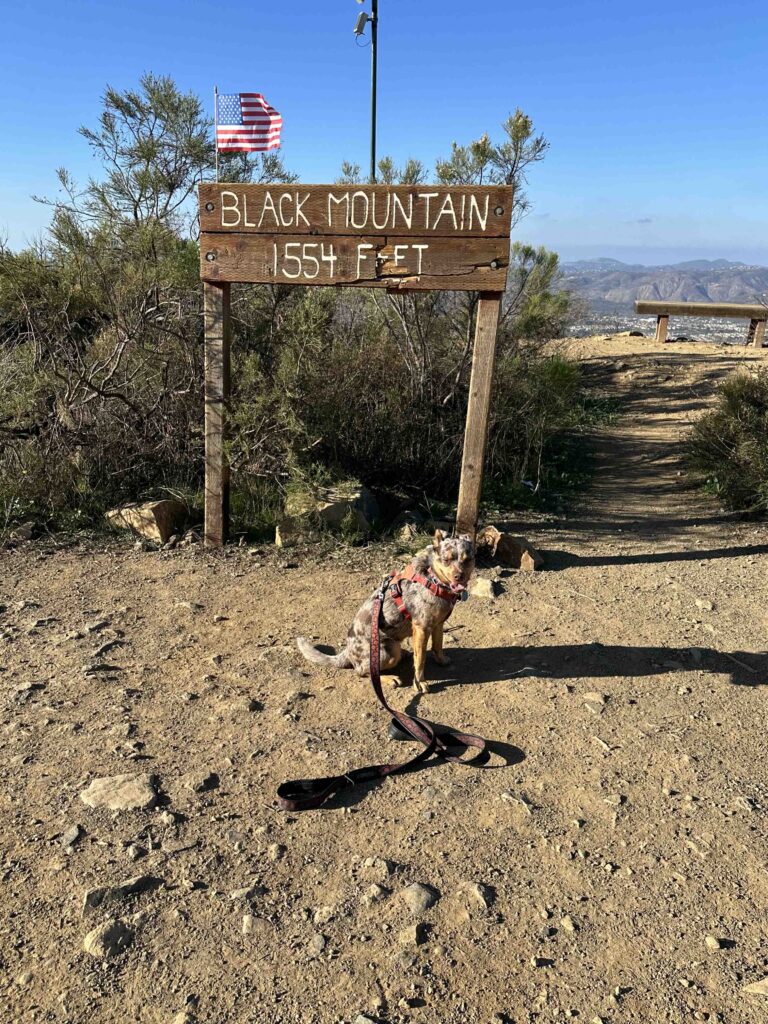
Throughout the hike you can see views of the summit which has satellite equipment on it. In the beginning it seems so far away, but eventually you make your way to it. On the way the trail is mostly in the open, uphill, and with little shade. Just when you think you can’t climb much more there is a big uphill section. This comes at .8M from the summit point and is probably the most challenging section of the hike. After that the uphill continues, but at a smaller incline and the views are amazing. Keep walking past the satellite equipment and you’ll find the summit sign and some benches to take in the view.
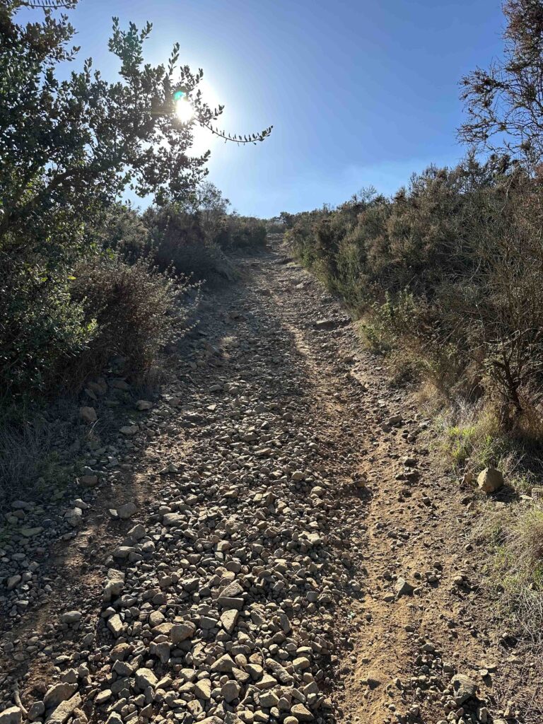

The return to the parking lot is nearly as challenging as the climb to the summit. Those big uphill sections with the rocks can be tricky to navigate. Eventually the inclines get less and you find yourself back at the park. Sunny and I enjoyed our hike of the Black Mountain Nighthawk Trail and I hope to return to investigate one of the other trails.

Our Rating
Sunny, Karlie, and I rate the Black Mountain Nighthawk Trail 3.5 out of 4 paws up. We love the challenge, views, and length of the trail. The only thing missing is a water feature, but the views make up for it. This trail is almost entirely uphill and the walking surface is mostly stones and rocks. This makes it difficult for anyone with breathing, mobility, or stability issues. The length is just over 2M to the summit and it is mostly not shaded.
How Do I Get There?
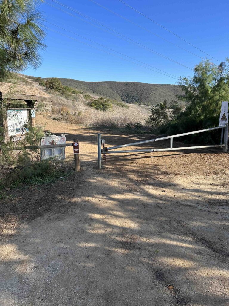
We always park at Hilltop Park which is located at 9711 Oviedo Way. From CA-56 take exit #7 – Black Mountain Rd. Continue for 1.2M then turn right onto Oviedo St. Continue for .3M then turn right onto Oviedo Way. Continue to nearly the end and turn right into the parking lot near the Hilltop Community Park sign. Turn left and continue to the back of the parking lot. The entrance of the park is near the trail map sign and gate.

For more information check out the San Diego website and trail map.
