Despite a chilly morning Sunny and I decided to hit the trails. We wanted to explore a new place so we drove to Andrews, IN to check out the Bloodroot trail. What we found was a beautiful and peaceful hike with views of the Salamonie River.
History of the Bloodroot Trail
Locals and the Civilian Conservation Corp developed the Bloodroot Trail in the 1930s as part of the Salamonie River State Forest. The thirteen mile trail connects the Lost Bridge West State Recreation Area with parts of the Salamonie River. The name of the trail comes from the abundance of the bloodroot plant along the river. Native Americans used this plant to create yellow dye and the native term for yellow paint, O-sah-mo-nee, gave the river its name – Salamonie.
Our Adventure
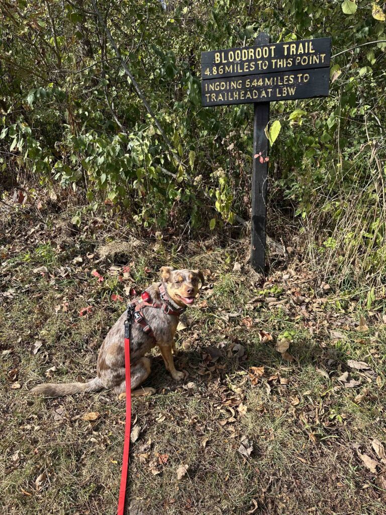
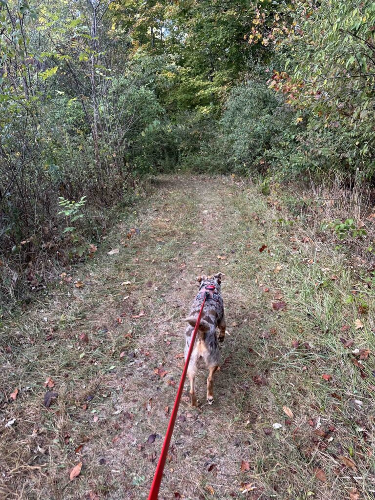
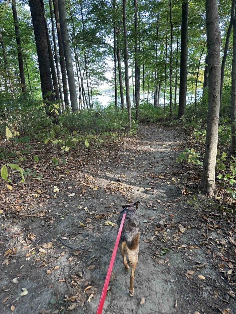
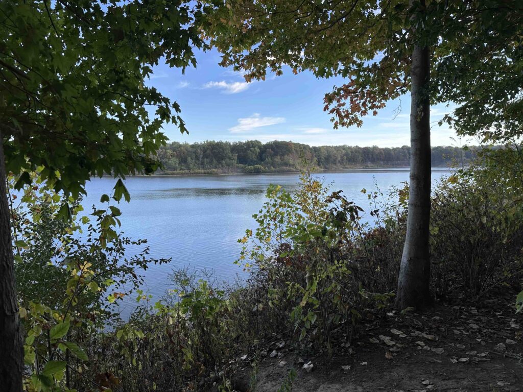
We started our exploration of the Bloodroot Trail at the south entrance in Andrews, IN. At the sign for the trail we turned right and entered the woods. Barely after starting we climbed down an incline and then exited the woods onto a mowed grass trail. After a short distance we were able to get a glimpse of the Salamonie River. We continued on the grass trail and eventually re-entered the woods.
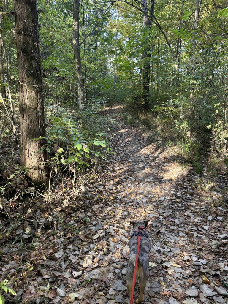
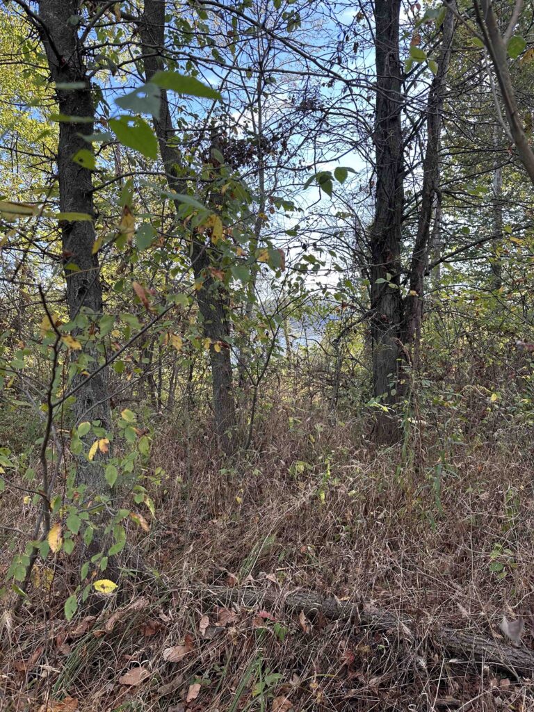
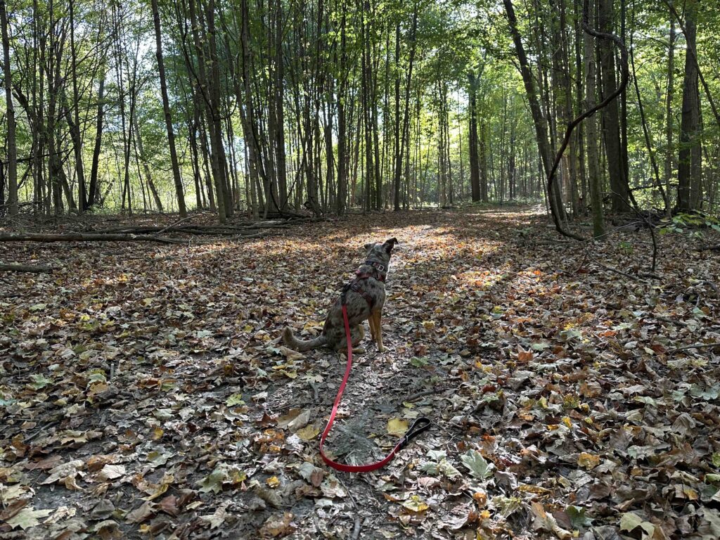
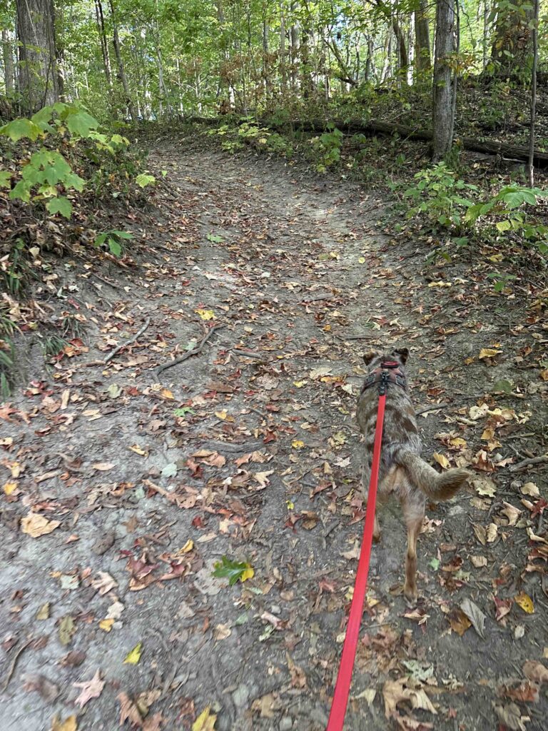
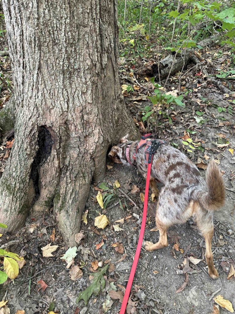
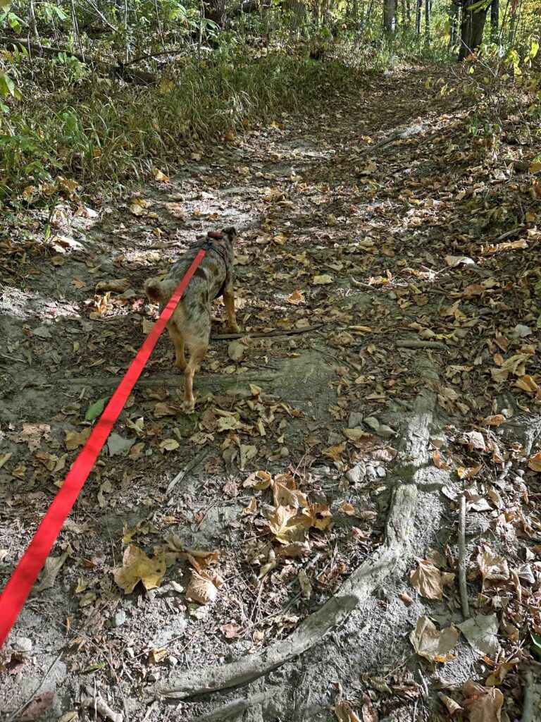
From this point forward the trail continued through the woods. We were surrounded by trees on a nice wide dirt trail. There were so many leaves on the trail and Sunny smelled, heard, and saw quite a few squirrels scurrying around.
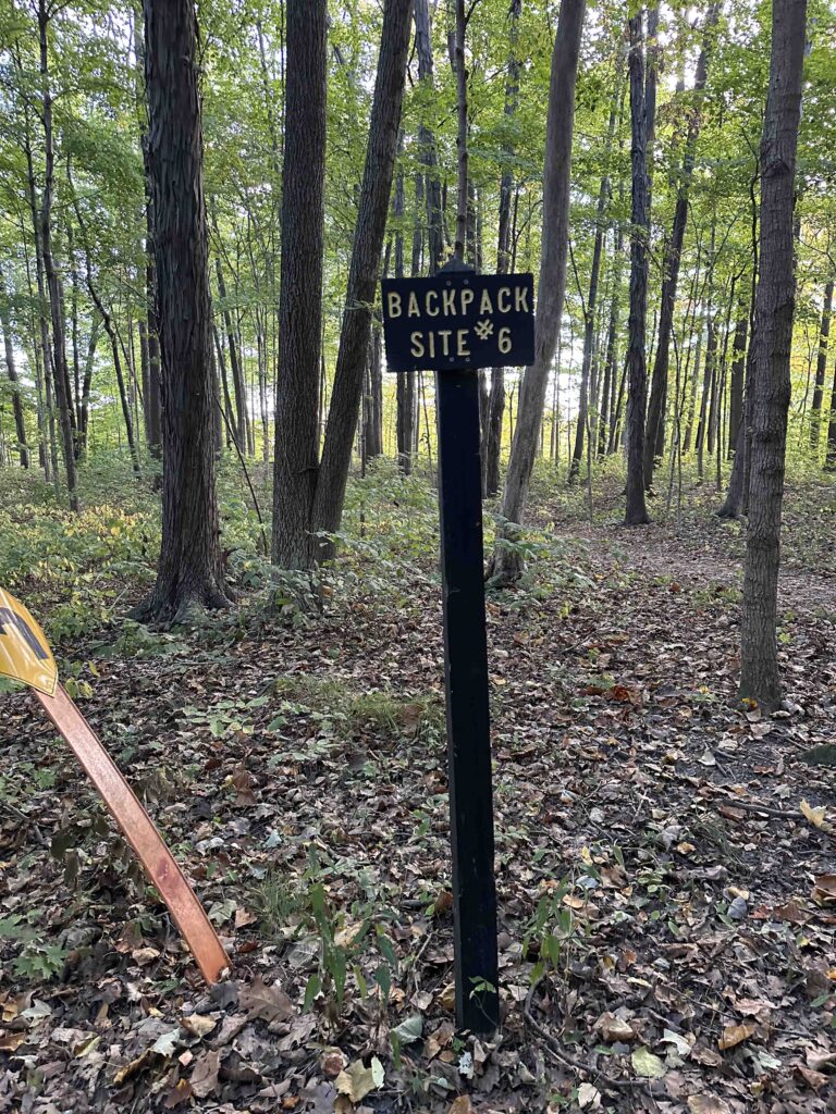
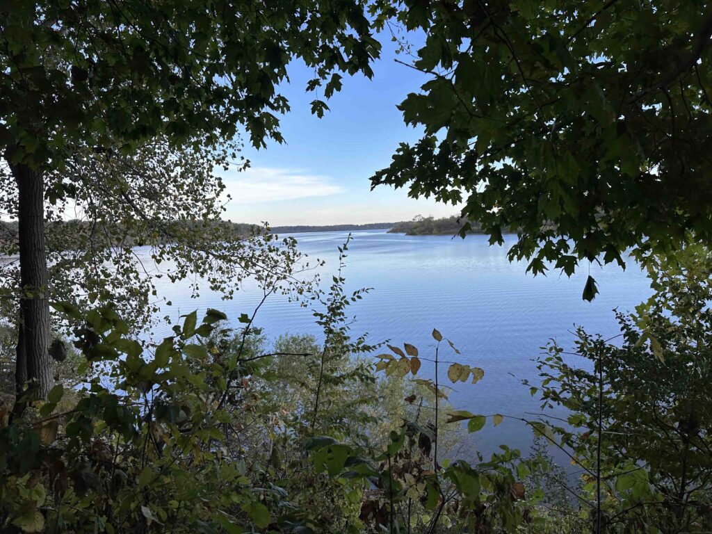
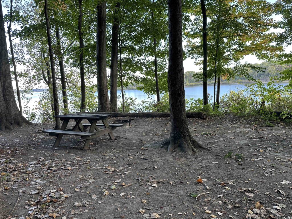
After quite awhile we came upon a sign for backpack site #6. This is one of 6 rustic camping sites along the trail. Sunny was curious so we walked down the trail toward the camping site. What we found were beautiful views of the Salamonie River and a campsite. The campsite consisted of a picnic table, fire pit, and space for a tent. We learned later that these campsites can be reserved online for less than $13/night.
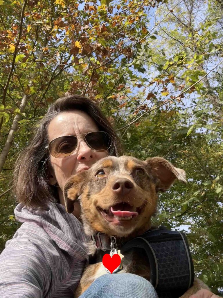
We retraced our steps back to the main trail and continued our hike. It felt like we were making our way further into the woods. The trail wound around and had some inclines and descents. We passed backpack site #5 and a little further, backpack site #4. A short distance past backpack site #4 we decided to turn around. At this point we had hiked nearly 2.5M and decided it was time to head back to the car. We retraced our steps and made it back to the car. We took a few selfies and then headed back home.
Sunny’s Perspective
I loved this hike! The smells were amazing and I heard and saw a lot of squirrels. I wish we could have found a way to get down to the river, but it was still super fun. We hiked quite a distance and when we arrived home I was pooped out, but it was worth it.
Our Rating
Sunny and I give the Bloodroot Trail 3.5 out of 4 paws up. It’s a beautiful hike with views of the river. You can hike a long distance and even camp overnight. Parking is ample and it’s easy to follow the trail. The only downsides are no restroom and no access to the river, at least on the section that we hiked.
How Do I Get There?
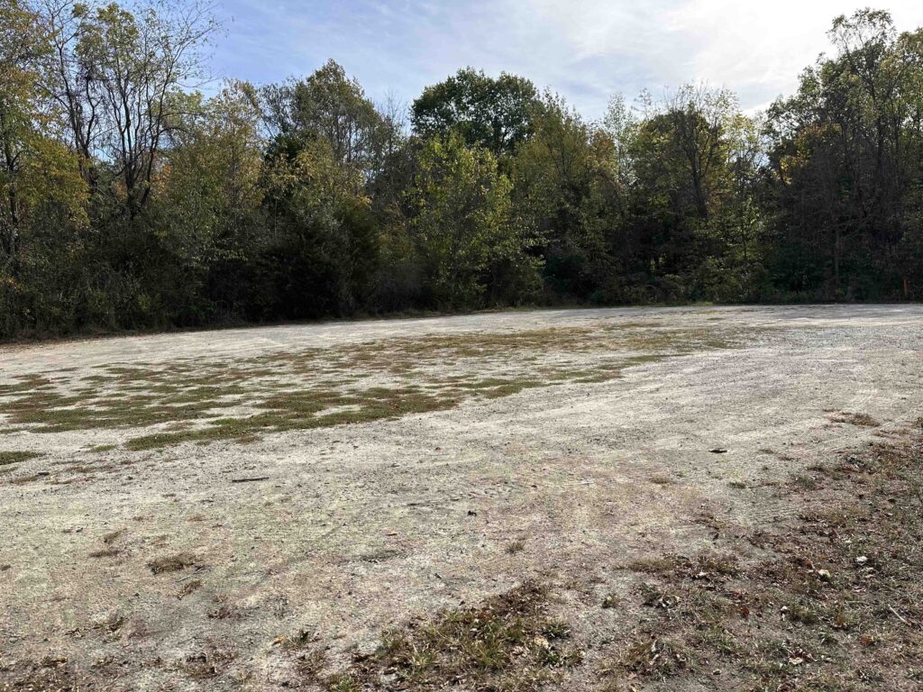
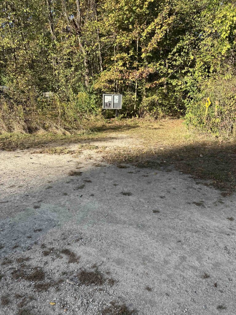
For the location we used Bloodroot Trail South Trailhead. From I-69 take exit #278 toward Huntington and merge onto I-5N. After 1.5M turn left onto IN-24W/W 600S and continue for 7.4M. Then turn right onto S 700W. AFter about .3M look for a sign for the Bloodroot Trail pointing to a road on the left. Follow this road to a gravel parking lot. The entrance to the trail is on the left. Look for a wood sign with trail information.
I have hiked and camped the Bloodroot Trail multiple times over the years. It’s a great 1st backpacking trip for the year. I highly suggest this trail.
Thanks for your comment. Sunny and I thought it was great fun and plan to return.