We love to hike up mountains and one that has been on our list for awhile is Cowles Mountain. It is the highest peak in the city of San Diego so we felt it was a must-do. Finally last week we set out to hike up the mountain and made it to the summit. Although there are quite a few different ways to get up the mountain we decided to try the Mesa Trailhead. It was a challenging, fun hike with beautiful views on the way up and back down.
History of Cowles Mountain
Cowles Mountain was named after George Cowles who was a rancher and businessman in the mid to late 1800’s. Although his career started in New York City, he visited California in the 1870’s looking for land to purchase. He purchased 4000 acres in the El Cajon Valley and became well-known for growing olives and raisins and raising thoroughbred horses. When he died he left his estate to his wife who continued ranching until the 1890’s. In the 1960’s and 70’s the area surrounding the mountain experienced a housing boom and the city of San Diego considered developing an urban park. In 1974 the city and county of San Diego purchased Cowles Mountain with the plan to include it in the park which eventually became Mission Trails Regional Park.
Our Adventure
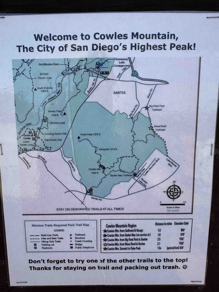
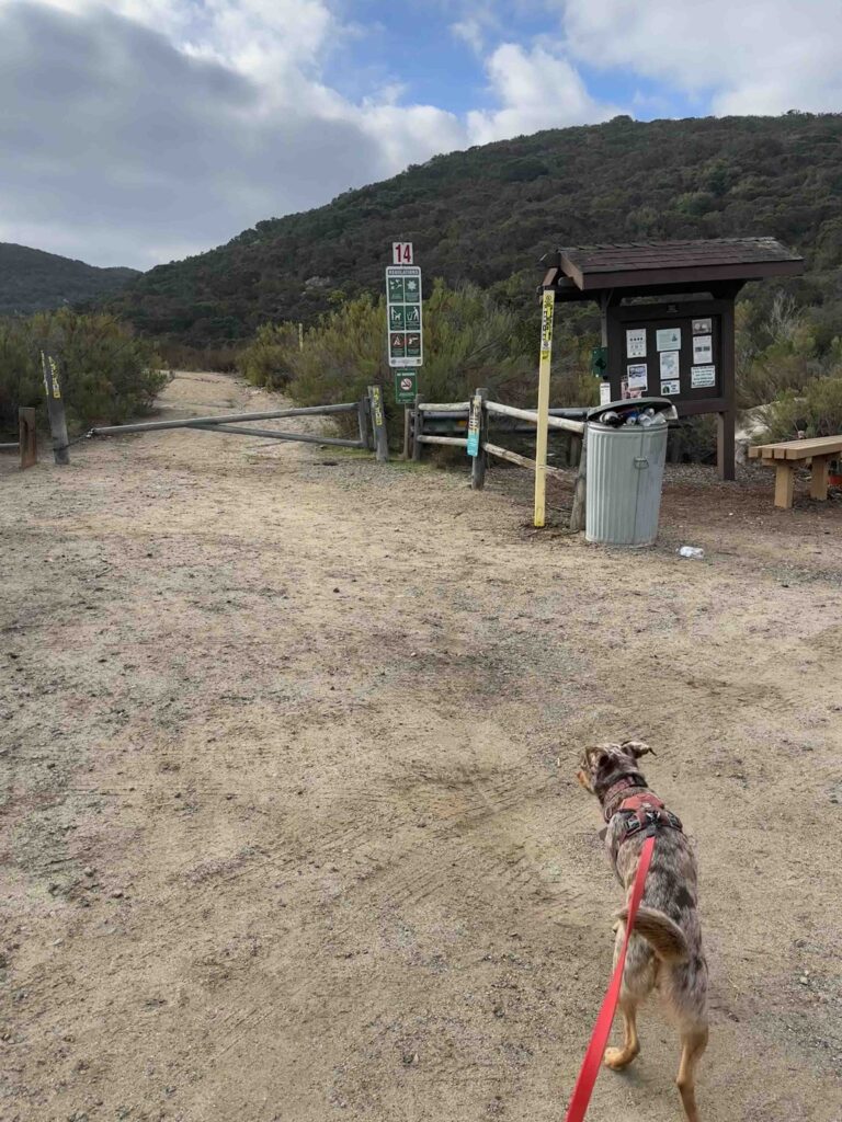
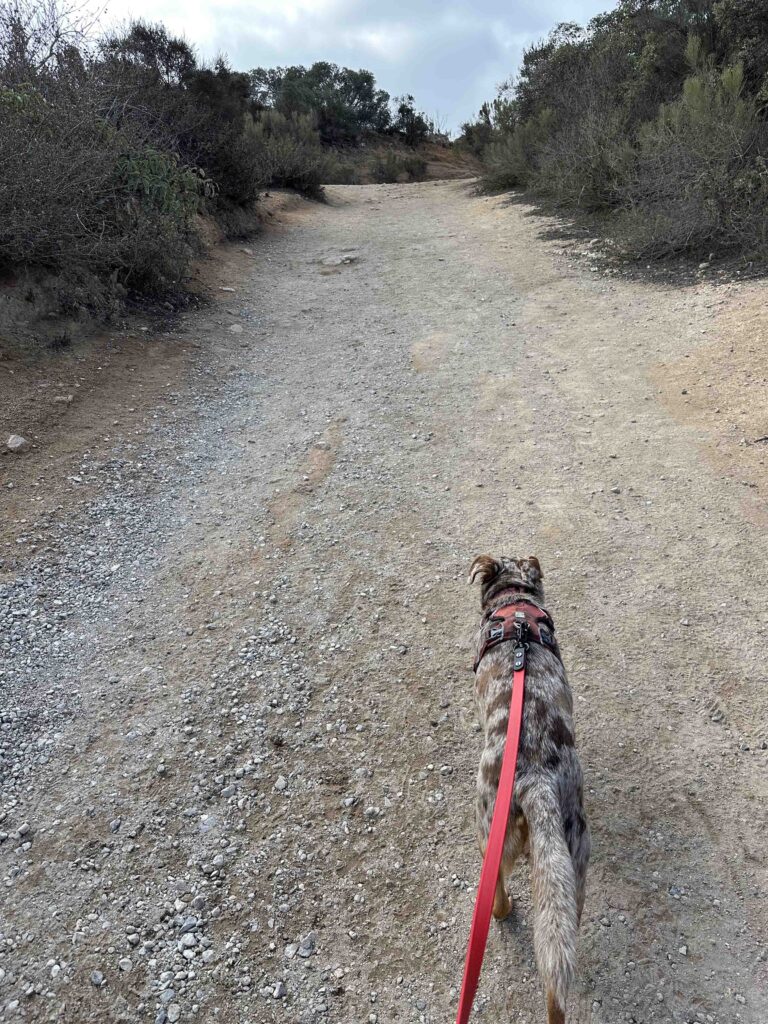
When trying to decide which trail to take we checked google maps and found the Mesa Trailhead which had a nice parking lot on Mesa Road just before the trailhead. I decided that would be a good place to start our trek up Cowles Mountain. As we drove down Mesa Road we began to wonder if this would be the case. The road deteriorated to a nearly dirt road, but we continued driving. After a short distance we came to the parking lot with the information kiosk. After parking the car we started walking on the dirt path that led to the Mesa Trailhead. Soon we saw a trail sign on the right.
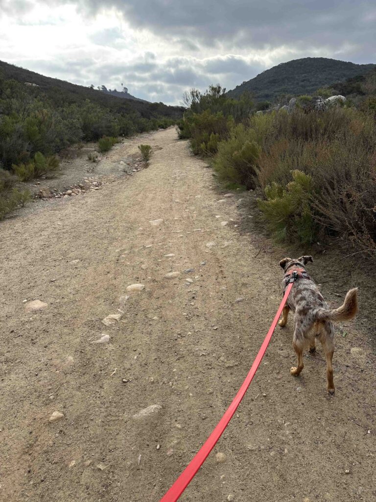
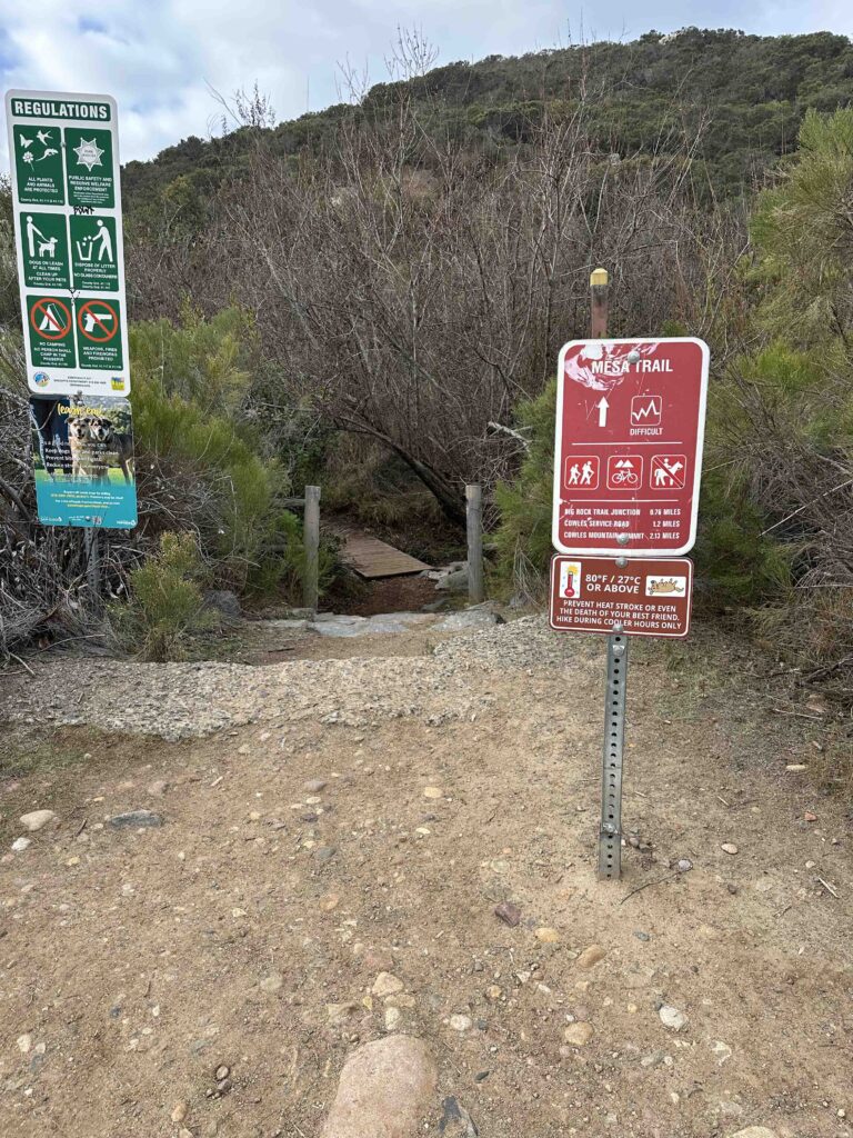
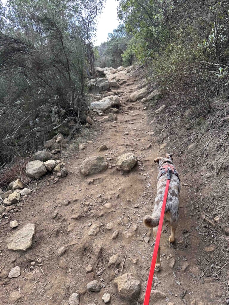
The trail took us over a creek and then the climb began. At first it was a somewhat gentle climb through a wooded area, but that did not last long. Soon we were climbing over big rocks and steps and winding our way to the top of the mountain. As we climbed we enjoyed the views of the surrounding areas which are beautiful.
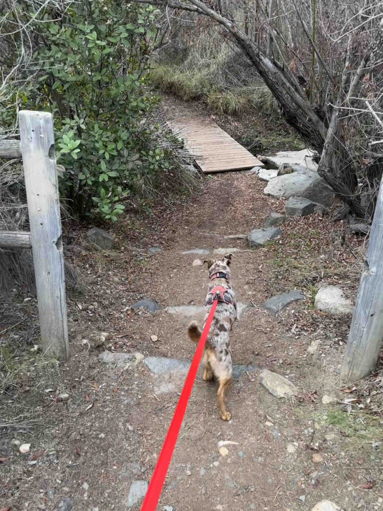
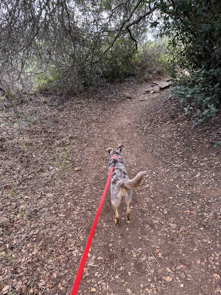
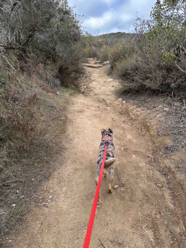
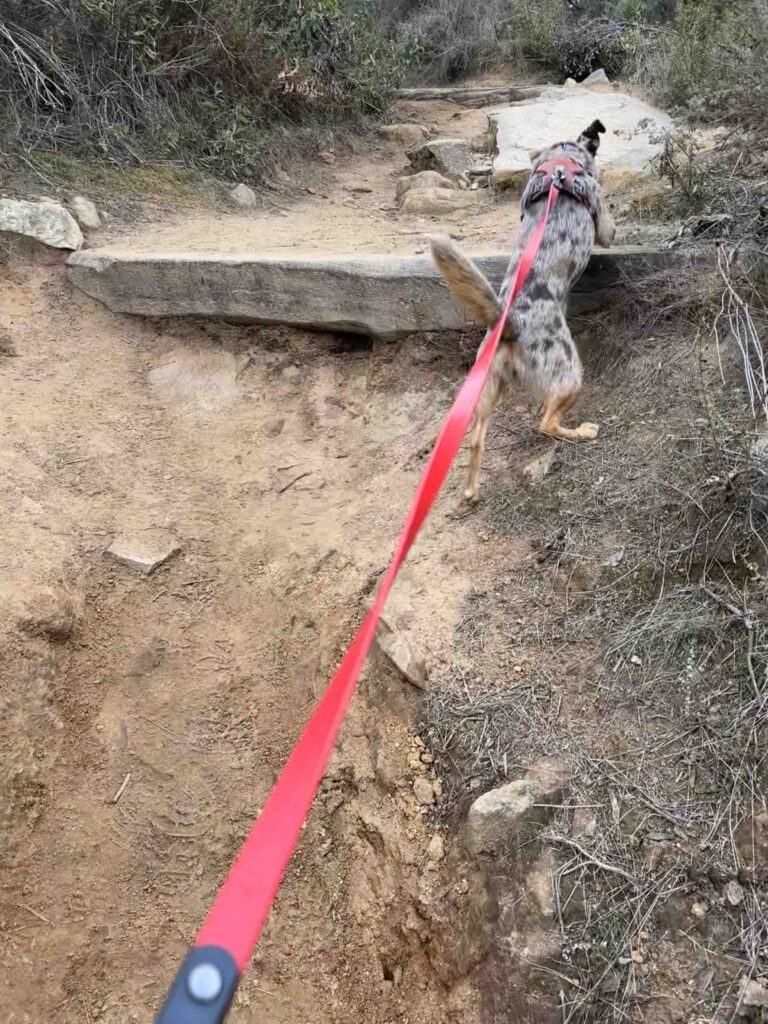
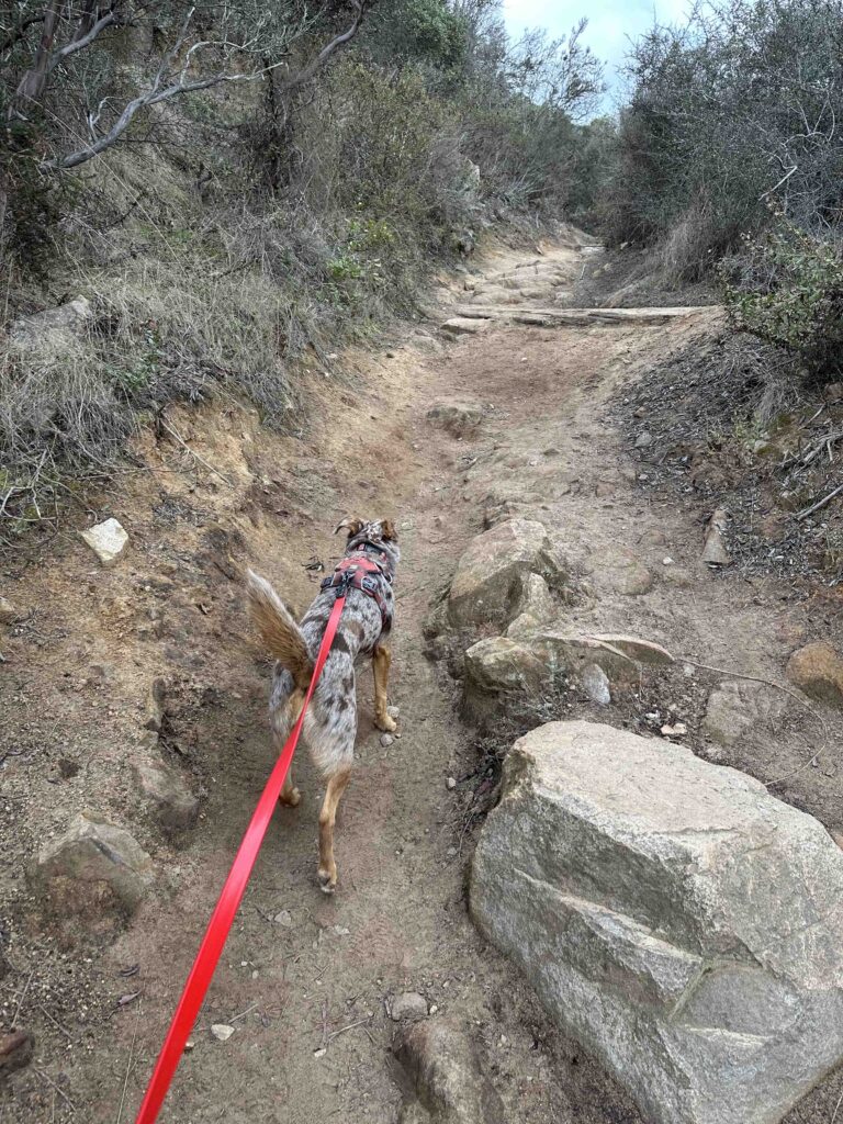
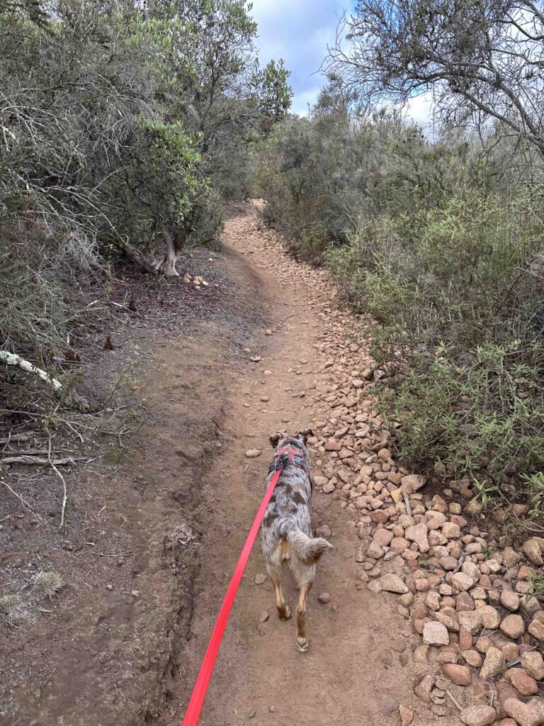
In addition to the steep trail it was quite rocky and narrow in some areas. Sunny and I loved climbing over the steps and stones, but I started to think about the trip down and knew it would be a little more difficult. Eventually the Mesa Trailhead led us to the Big Rock and the Barker Way trails before we arrived at the Cowles Mountain service road and finally the summit. While most of our hike was quiet with few people that ended at the Cowles Mountain service road and the summit. I guess we took the path less traveled which was fine with us.
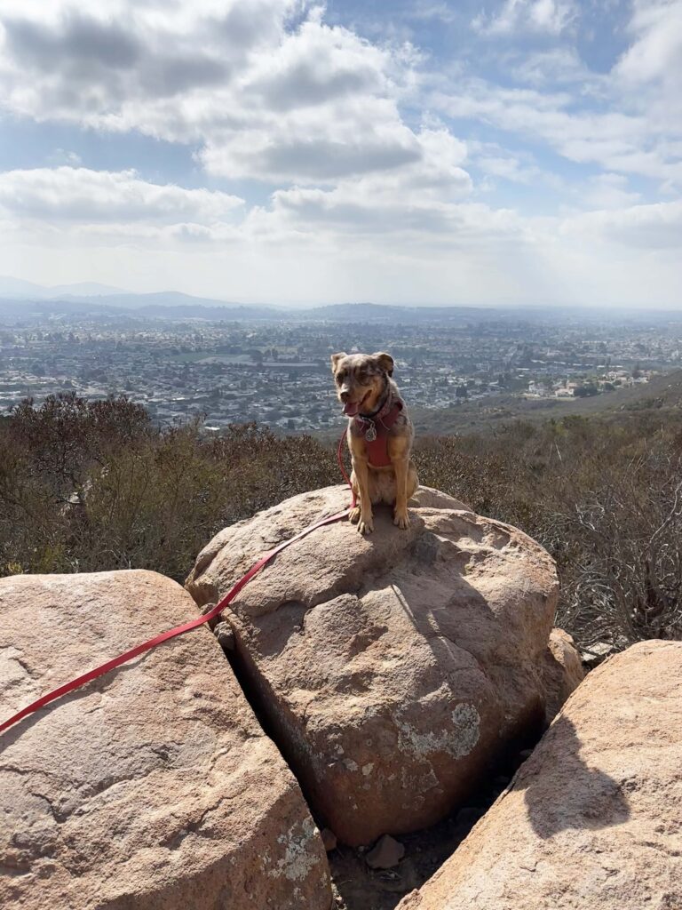
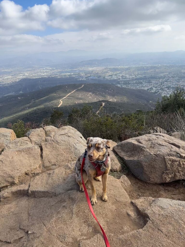
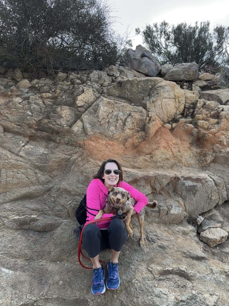
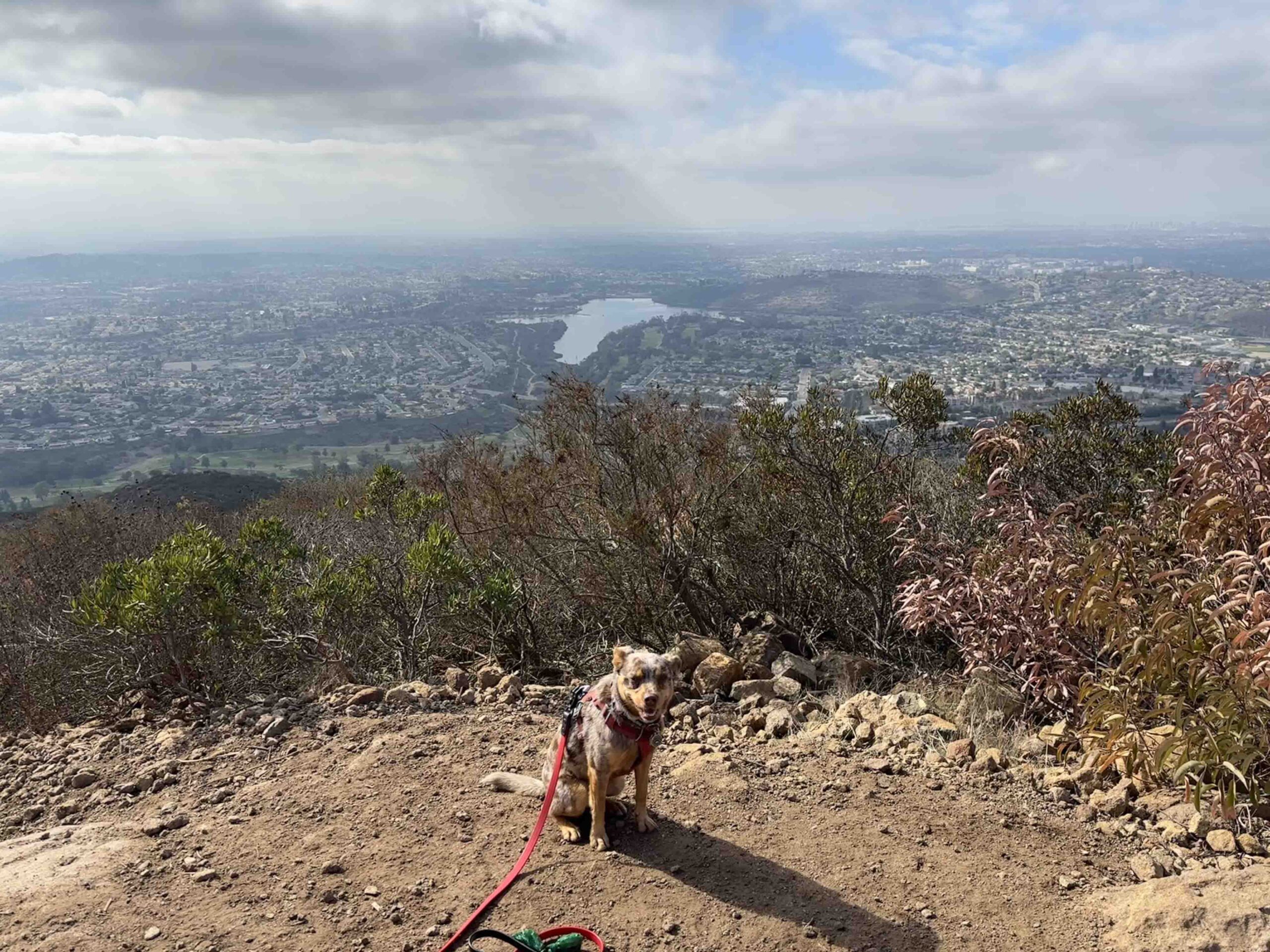
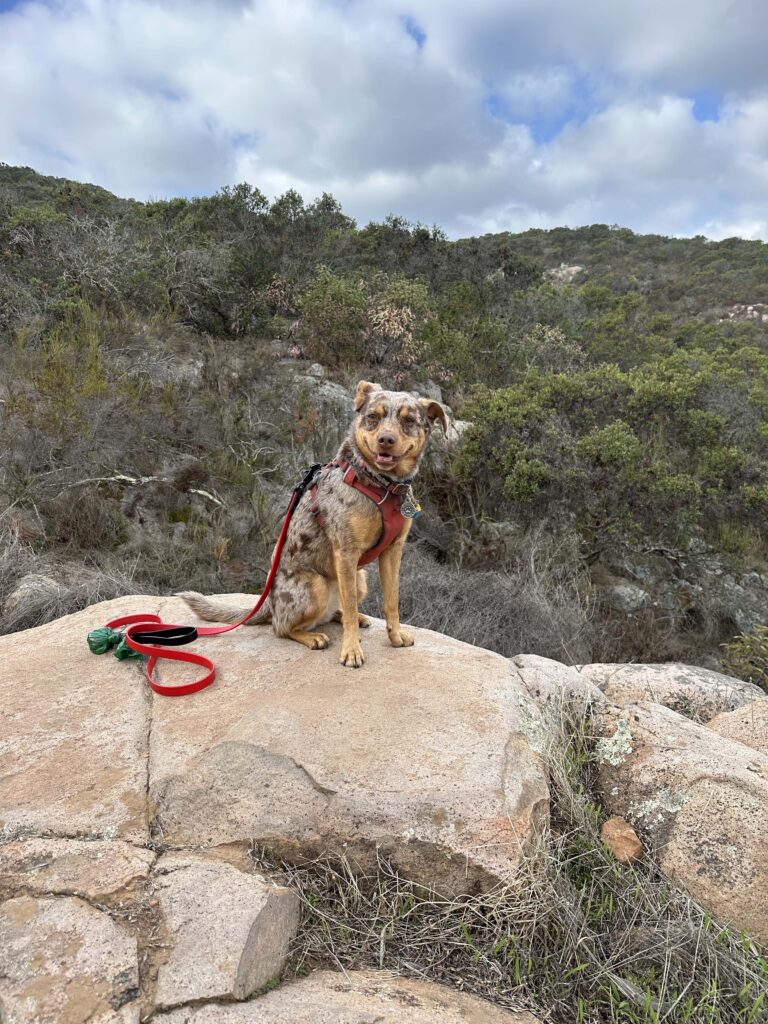
Cowles Mountain Summit
Once at the summit we found several different areas to look at the view. Despite the number of people there was ample opportunity for everyone to look around and take pictures. Sunny was thrilled when several young hikers took a liking to her and she was the center of attention for a few minutes. After enjoying our accomplishment and the views we headed down the mountain. There were several areas where the steep incline turned into a steep and somewhat slippery descent. Hiking poles may have helped as the dry gravel and sand was a little slippery. Despite that we made it down the mountain safe and sound.
The total distance of the Mesa Trailhead to the summit is about 2.1M each way making for just over a 4M hike.
Sunny’s Perspective
This was such a fun hike! I love to climb and scramble across rocks and this hike had tons of that. Once we got to the top of the mountain there were so many people there and I loved getting pets from them. The way down was not as fun since I had to go “slow slow” so Andie didn’t fall, but it was still a great hike.
Our Rating
Sunny and I rate Cowles Mountain 4 out of 4 paws up. It has most everything we love – a well-marked challenging hike with beautiful views along the way, a nice summit, and good parking. The only downside is the descent can be a little tricky in areas, but hiking poles may have helped. This hike is not recommended for those with stability or mobility issues.
How Do I Get There?
From CA-52 take exit #14-Mission Gorge Road and turn right onto Mission Gorge Road. Follow it for less than half a mile and turn left onto Mesa Road. Follow Mesa Road for just under a mile and you will find the parking lot on the left. Entrance to the trail is near the map kiosk.