
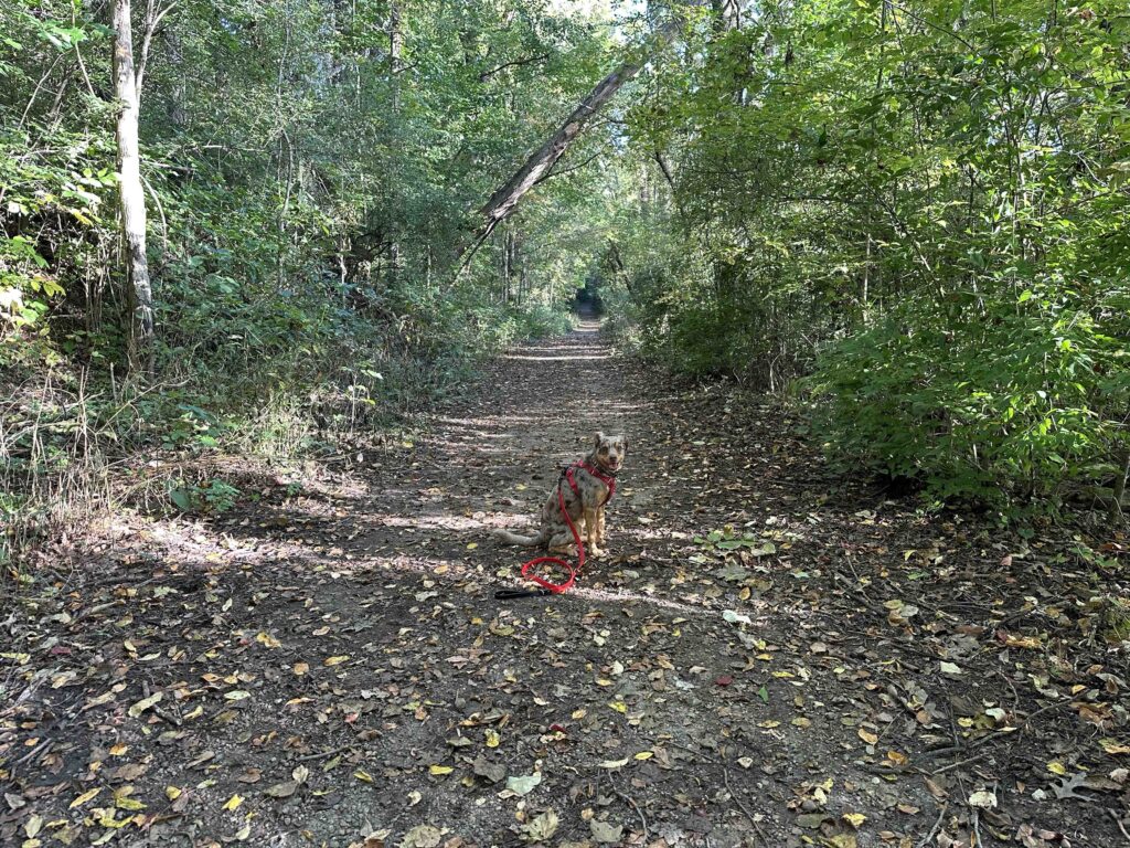
Another beautiful fall day so we decided to take a bit of a drive and explore Potato Creek State Park in North Liberty, Indiana. We are so glad that we did because we found a beautiful park with miles of trails in the woods and views of the lake.
History of Potato Creek State Park
Originally, Native Americas hunted and fished the land where the park is located. They also collected tubers know as “wild potatoes” from the creek banks. In the 1830’s they were forced to leave the area and settlers turned the area into agricultural fields. They constructed dams on Potato Creek to power mills. In the 1930’s the farmland became less productive and Darcy Worster began re-creating natural areas and lobbying to dam the creek and create a reservoir for recreational activities. In 1977 the reservoir and resulting lake was created and named after Darcy. On June 6th of that year the governor of Indiana dedicated six square miles as Potato Creek Recreation Area. In 1983 it was upgraded to state park status. Today it is a beautiful park with hiking and biking trails, a lake, nature center, campsites, and soon a new lodge.
Our Adventure
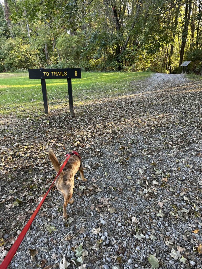
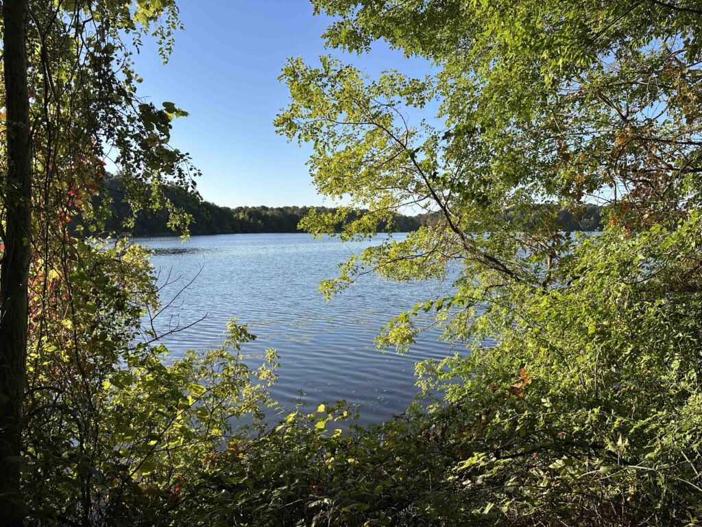
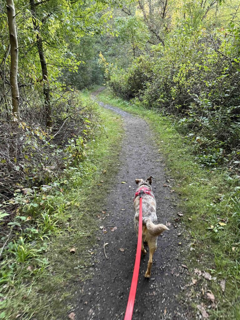
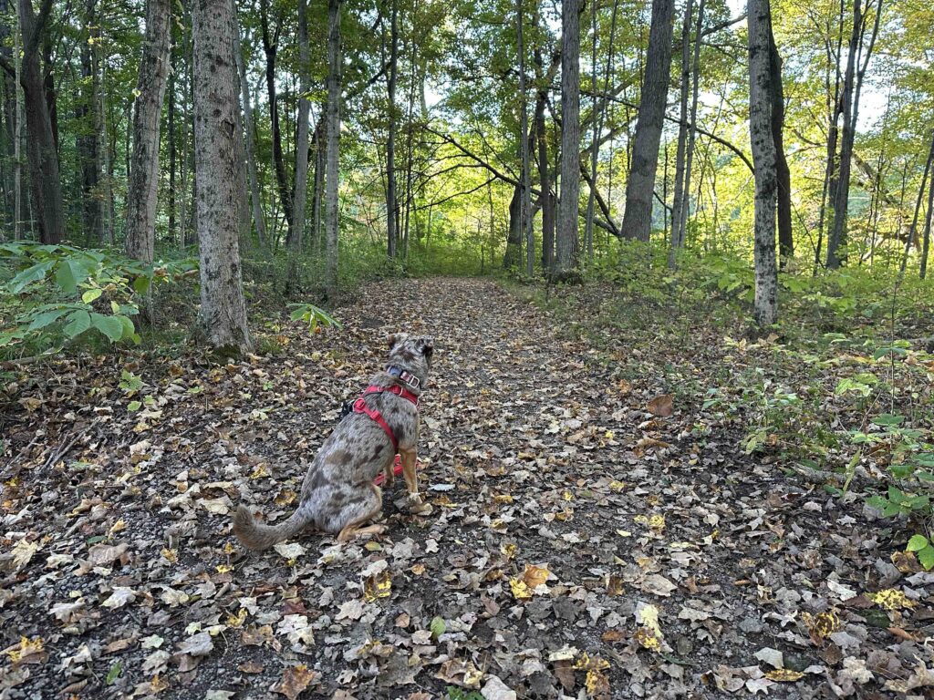
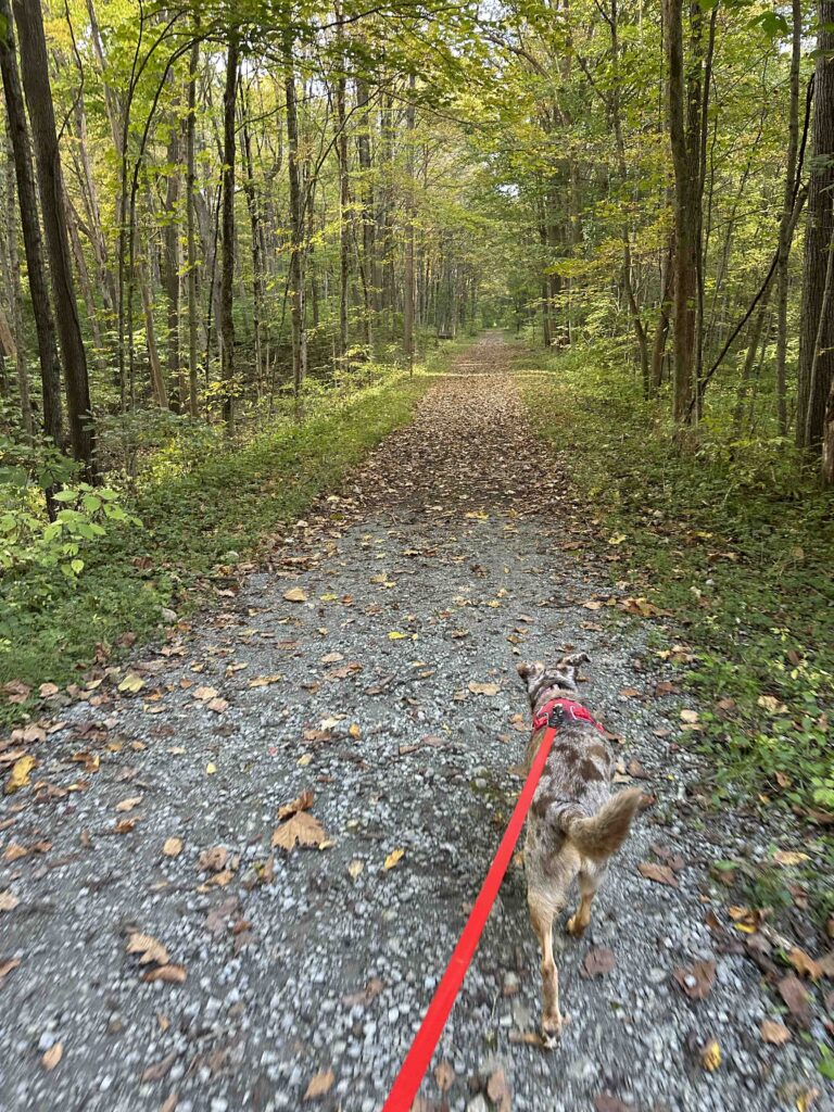
We started our adventure by parking near the nature center and walking toward it, where we found a sign pointing towards the trails. The trail immediately entered the woods and pretty soon we saw views of Worster Lake peaking through the trees. The trail was fairly narrow with a lot of vegetation on each side. Pretty soon it opened up and the trail became wider and felt more like a walk through the woods. The views of the lake, at this point, were just little views through the trees.

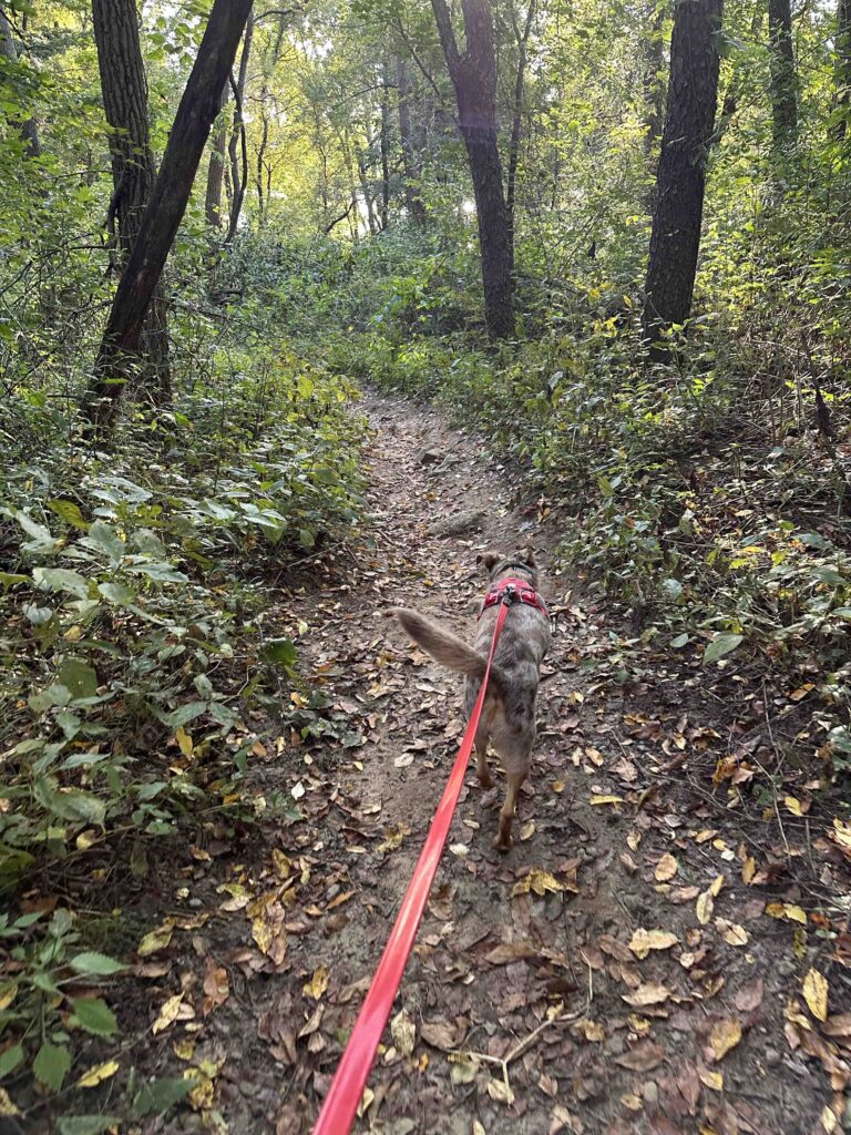
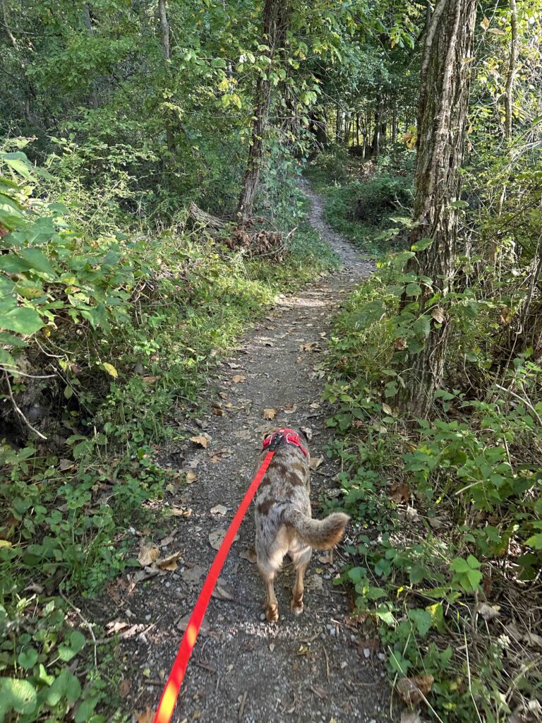
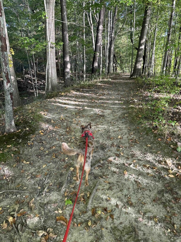
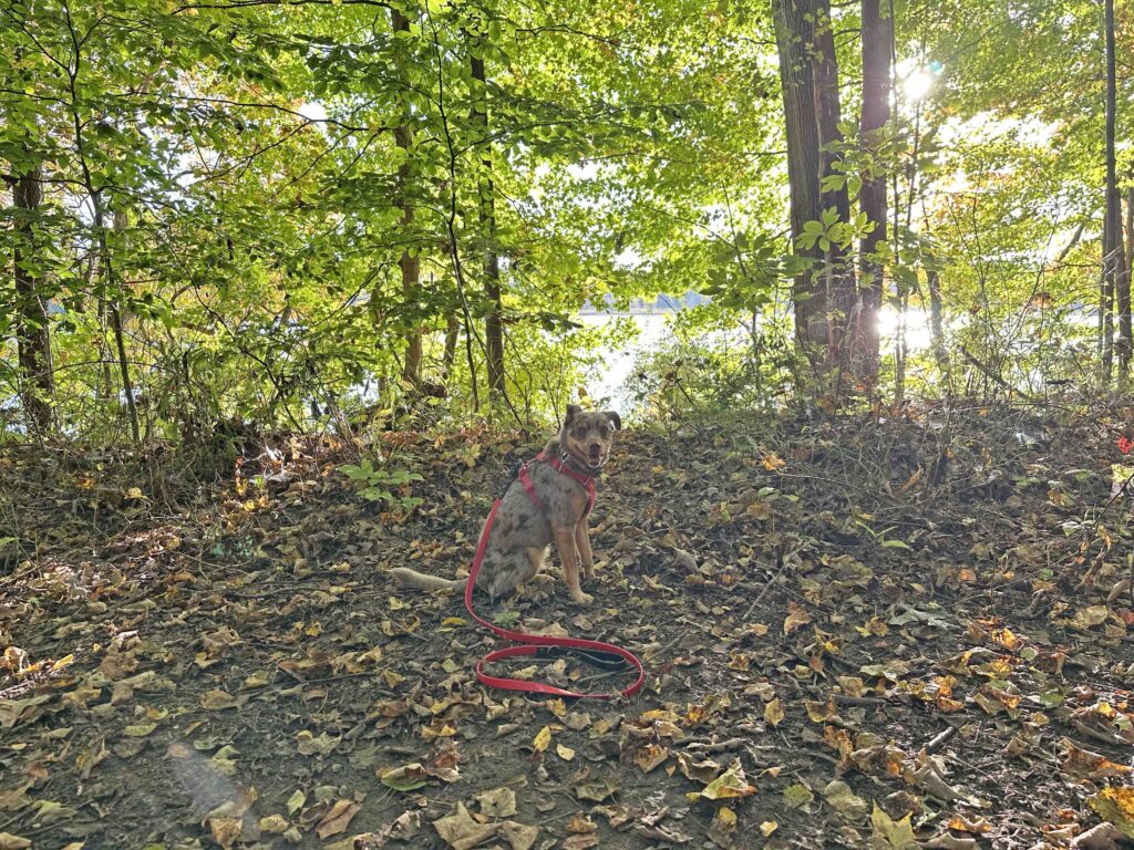
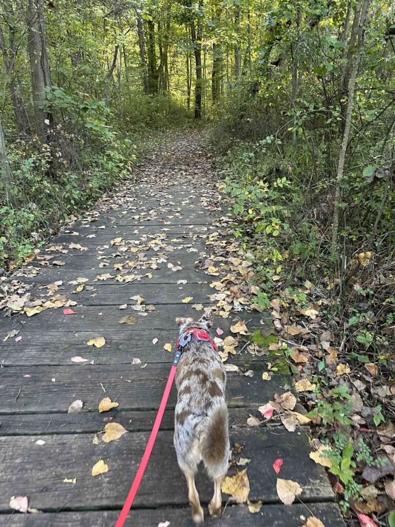
As we started to walk away from the lake, we found a sign on the right indicating the start of trail 1. This trail was similar to the start of the trail near the nature center. It was narrow with a lot of vegetation on both sides. This continued until we came to some wood boardwalks across a swampy, wet section. After that, the trail opened up and was a walk through the woods. It wasn’t long before we found signs indicating we were approaching trail 2.
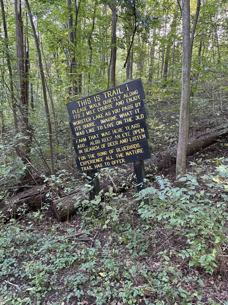
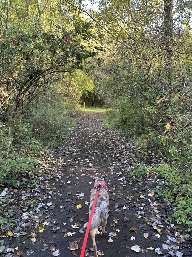
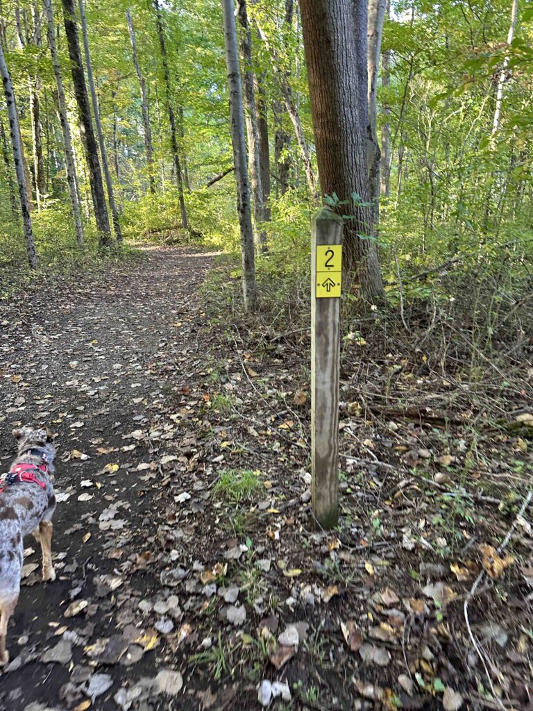
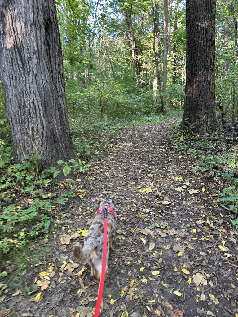
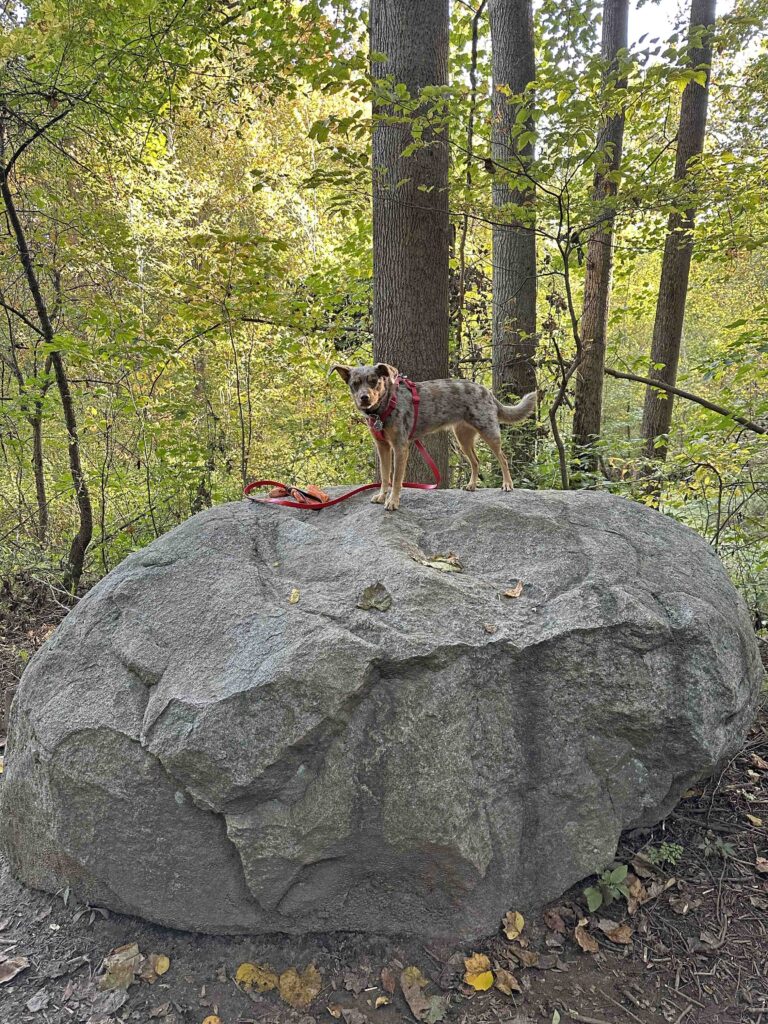
The start of trail 2 was a continuation of walking through the woods. We weren’t on this trail for very long, but it was quite scenic. After a short time, we came to the connector between trails 2 and 4. We walked along this access trail until we saw signs for trail 4. After a short distance we found trail 4 and turned right to enter another section of the woods. After a short distance we found a little clearing with a HUGE rock. Of course, I had to have Sunny pose on it.
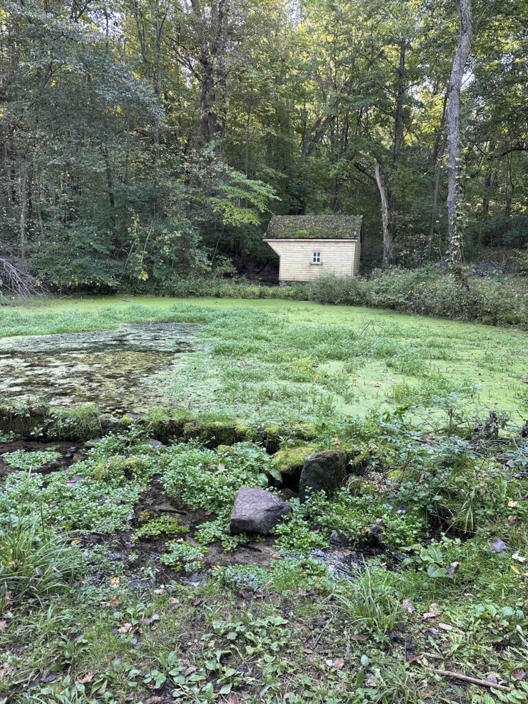
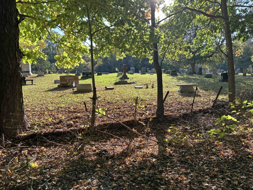
We continued to follow the trail to the Spring House, which was used to preserve the labors of the farm. This house belonged to Charles and Mary Schrader who purchased 160 acres along Potato Creek in 1851. Their family were the last owners of the land until the state purchased the land to create the park. Although this is not the original spring house, it was reconstructed on the original foundation using native materials and period techniques. The trail continued along the lake and eventually we came to Porter-Rea Cemetery. Not too long afterwards we came to the end of the trail. At this point we turned around and retraced our steps back to the parking lot. Our total hike was just over 6 miles.
Sunny’s Perspective
This place is fantastic! There were SO many squirrels running across the trails and the smells were amazing. Some of the trails we hiked were a bit challenging with uphill and down hill sections. That was SO fun. We also saw the lake in several areas, even walking on some platforms to get a better view. I had so much fun that I slept most of the car ride home!
Our Rating
Sunny and I give Potato Creek State Park 4 out of 4 paws up. This park really has everything that we enjoy – miles of trails, views of a lake, picnic areas, history, ample parking, and restrooms. An added bonus is that there are both dirt trails through the woods and a bike trail, giving plenty of hiking options depending on your ability and mobility. The only downside for us is the park is nearly a 2 hour drive, but we thought it was well worth it and hope to return. We highly recommend visiting in the fall when the leaves are starting to turn, but it would also be appropriate in the summer as the trails are pretty well-shaded.
How Do I Get There?
Use 25601 IN-4 in North Liberty, Indiana as the GPS address. From US-20 take US-31 toward Plymouth/Indianapolis. Continue on US-31 for almost 6 miles. Then take exit 239 for IN-4 toward North Liberty/Lakeville. Follow IN-4/Pierce road for nearly 6 miles until you see the Potato Creek State Park sign. We followed the main road to the Nature Center and started our hike on the trails on the left side of the nature center.
For more information about Potato Creek State Park, check out these websites: